Col du Galibier – 3D relief map
Price range: 49,90 € through 119,90 €
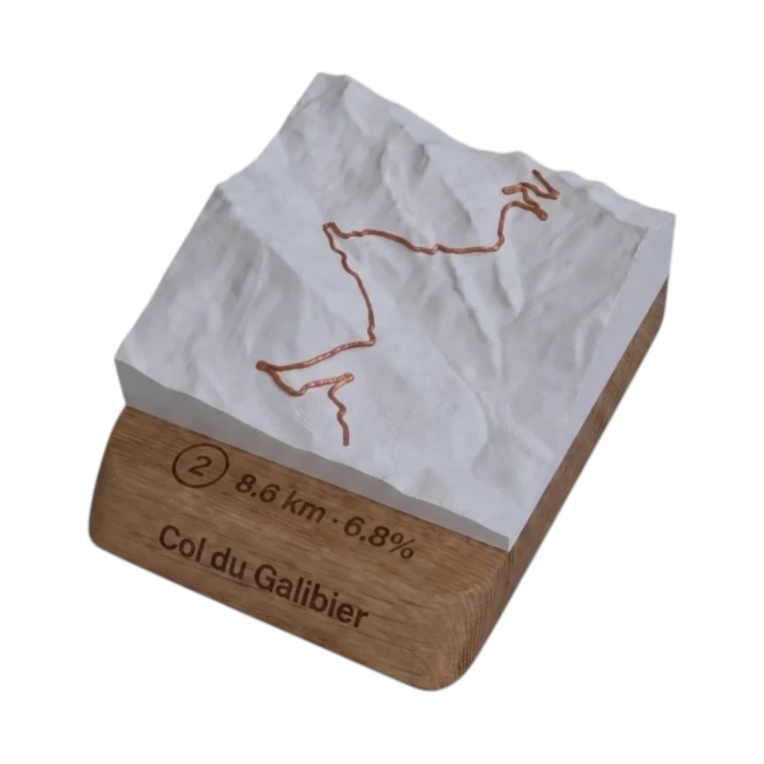
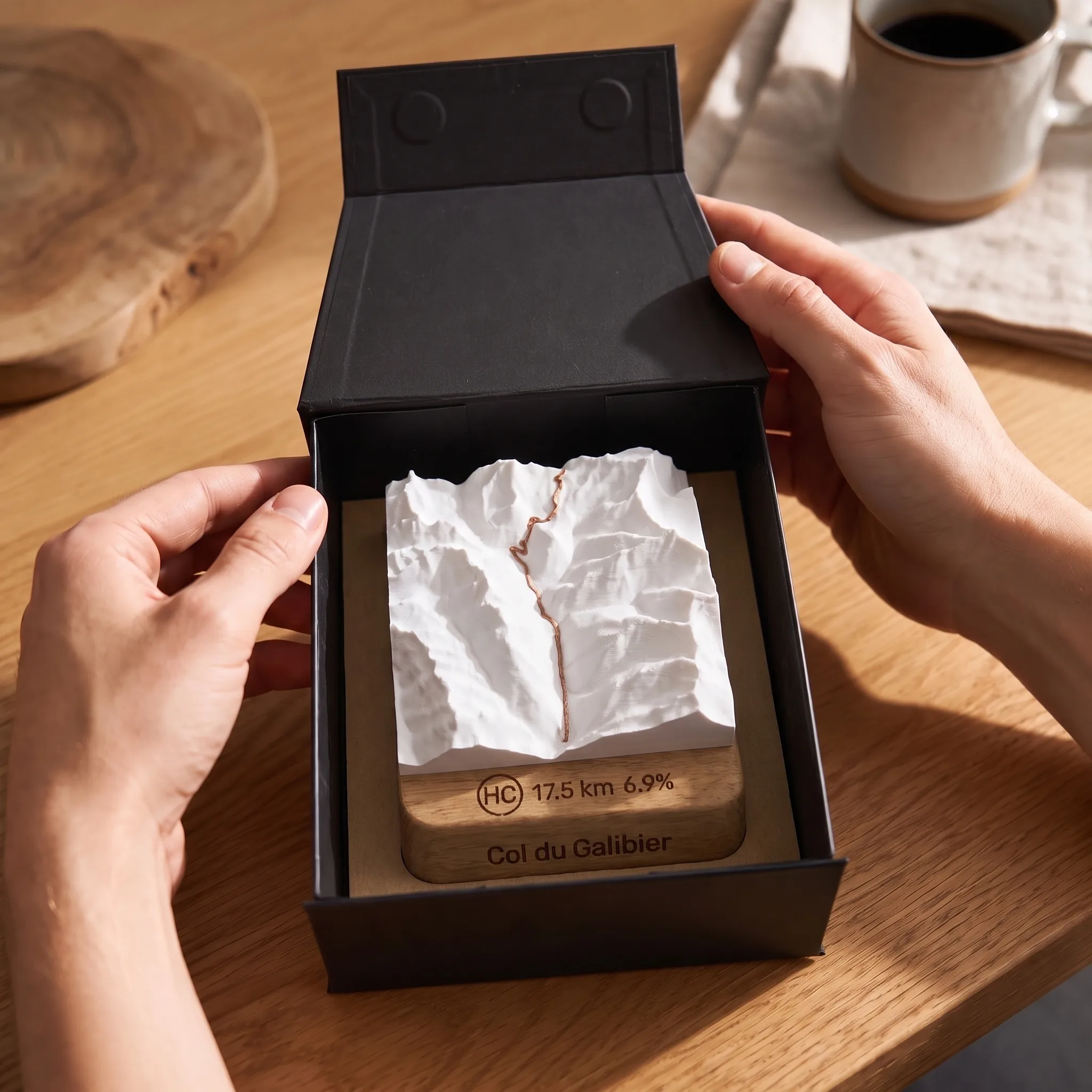
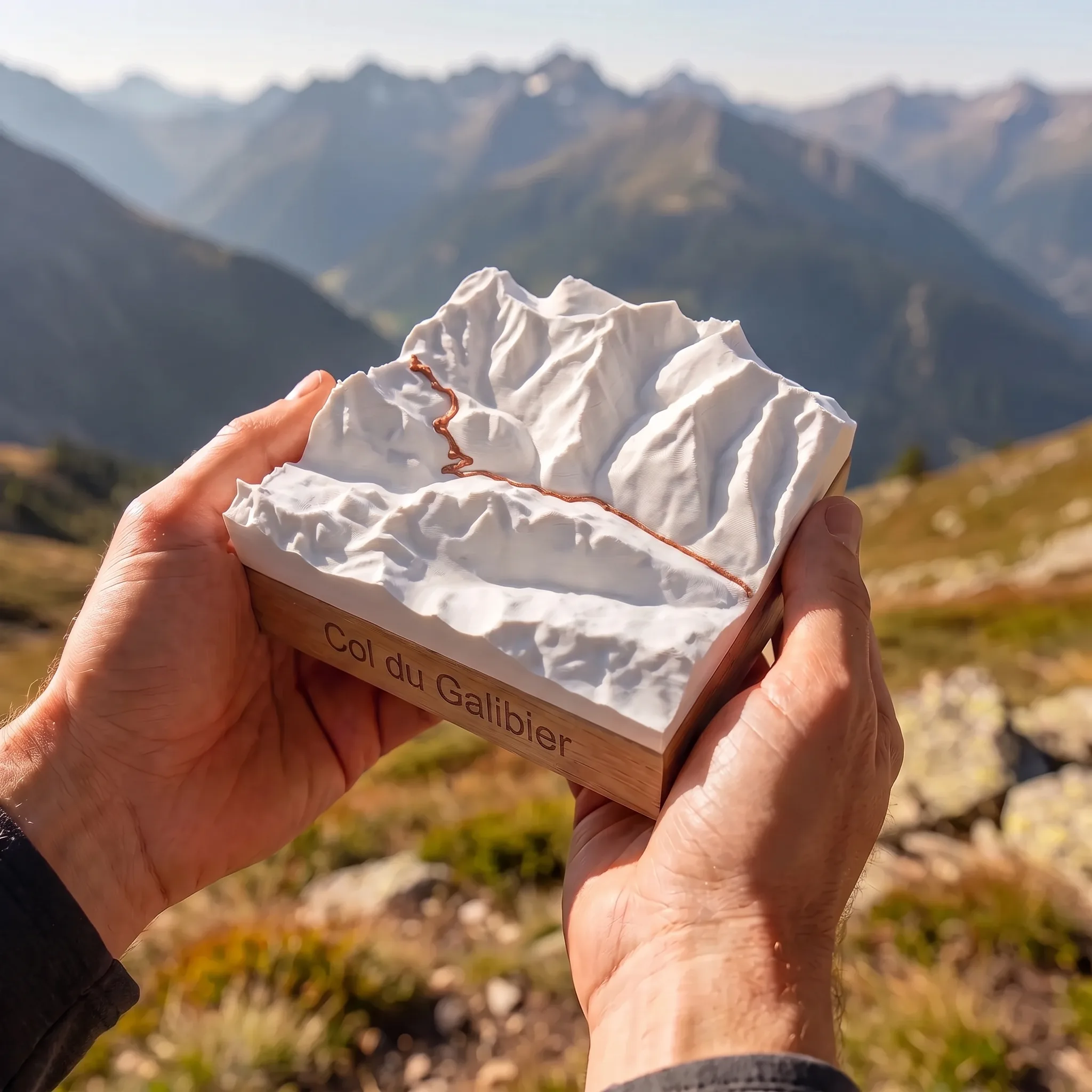
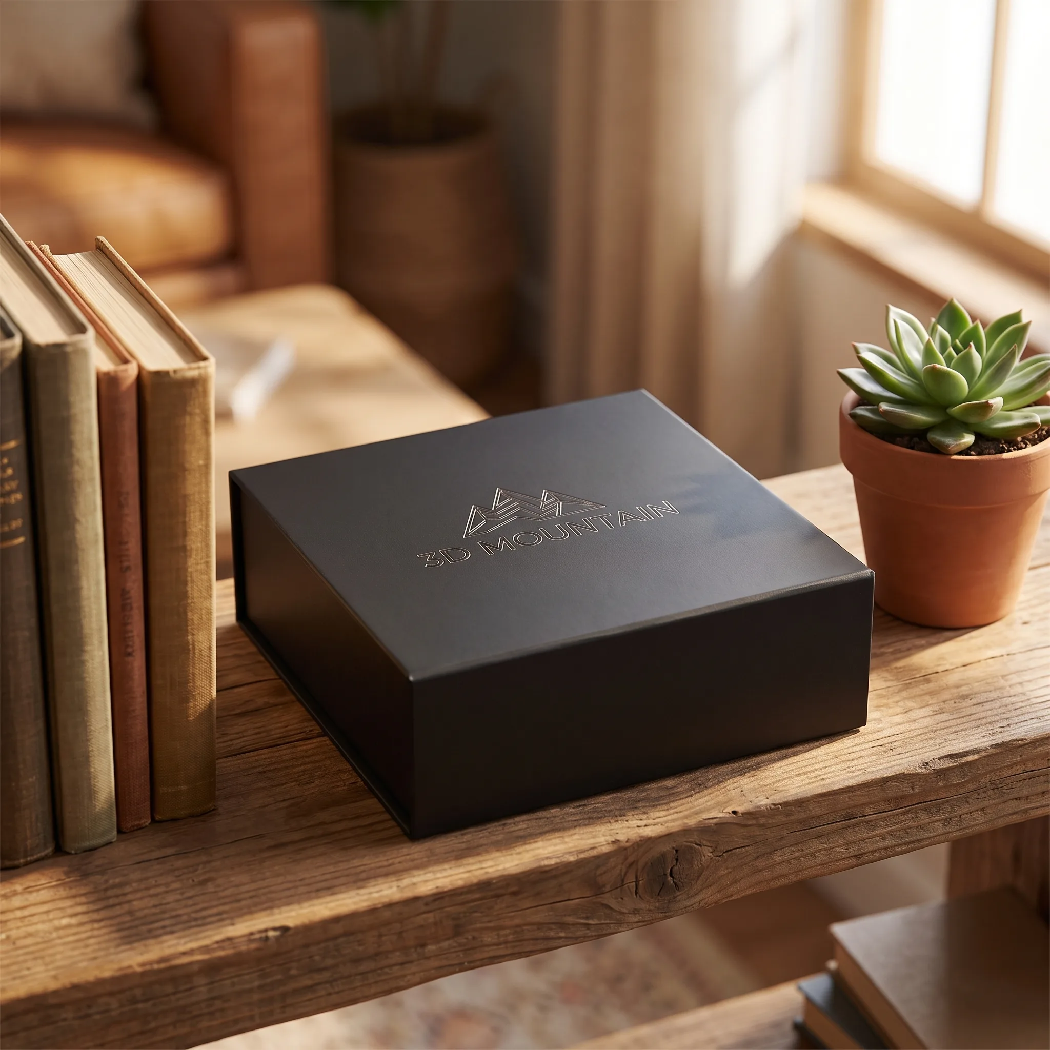
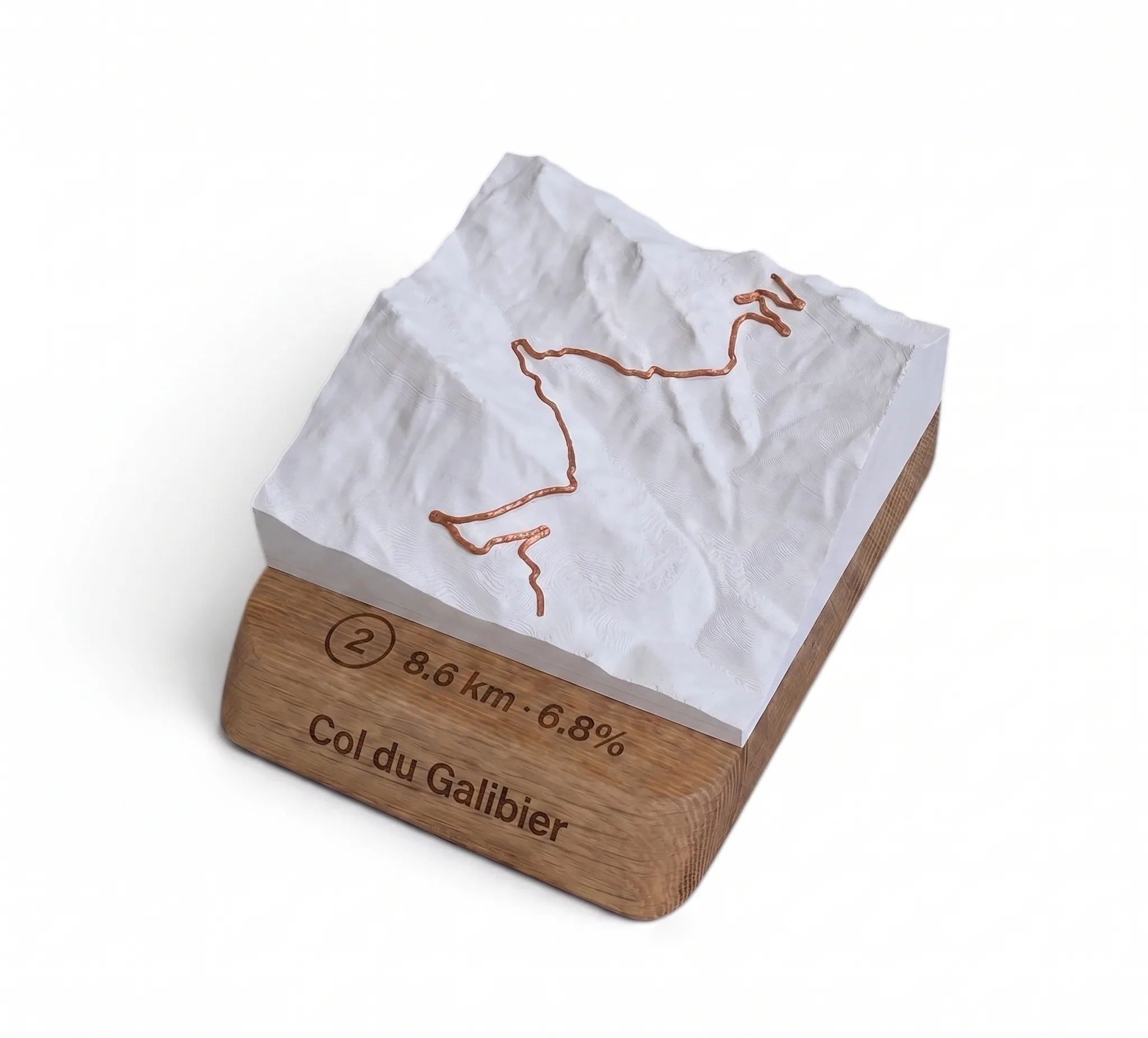
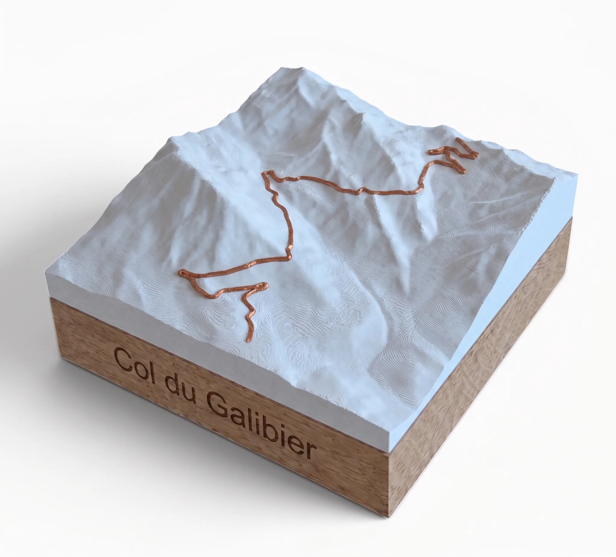
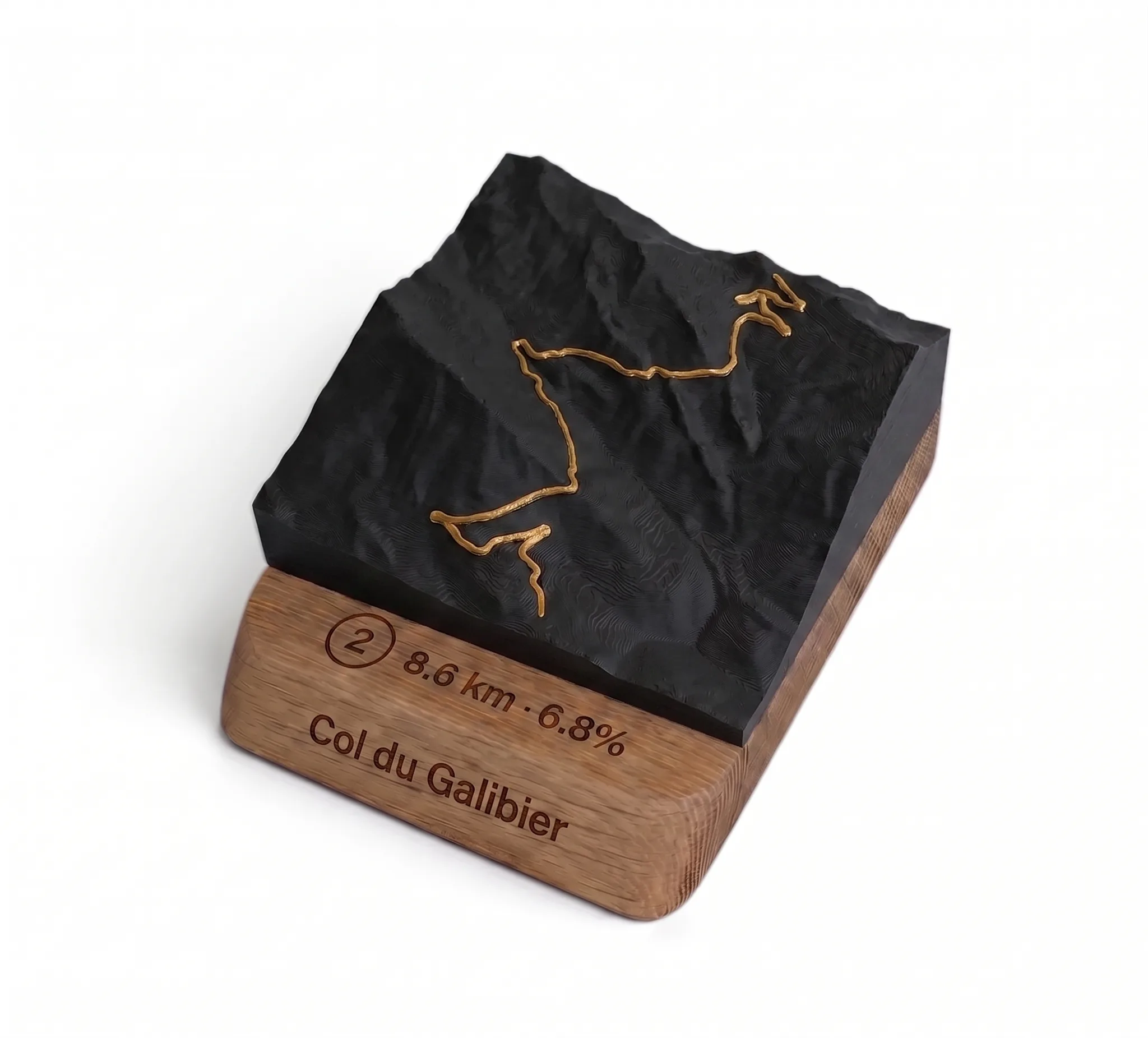
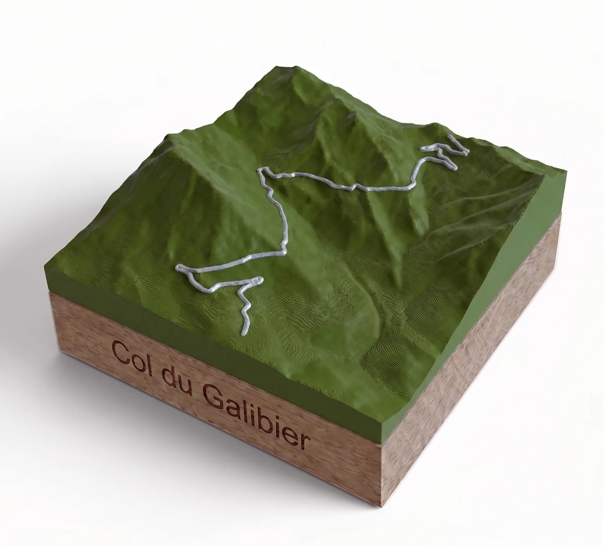
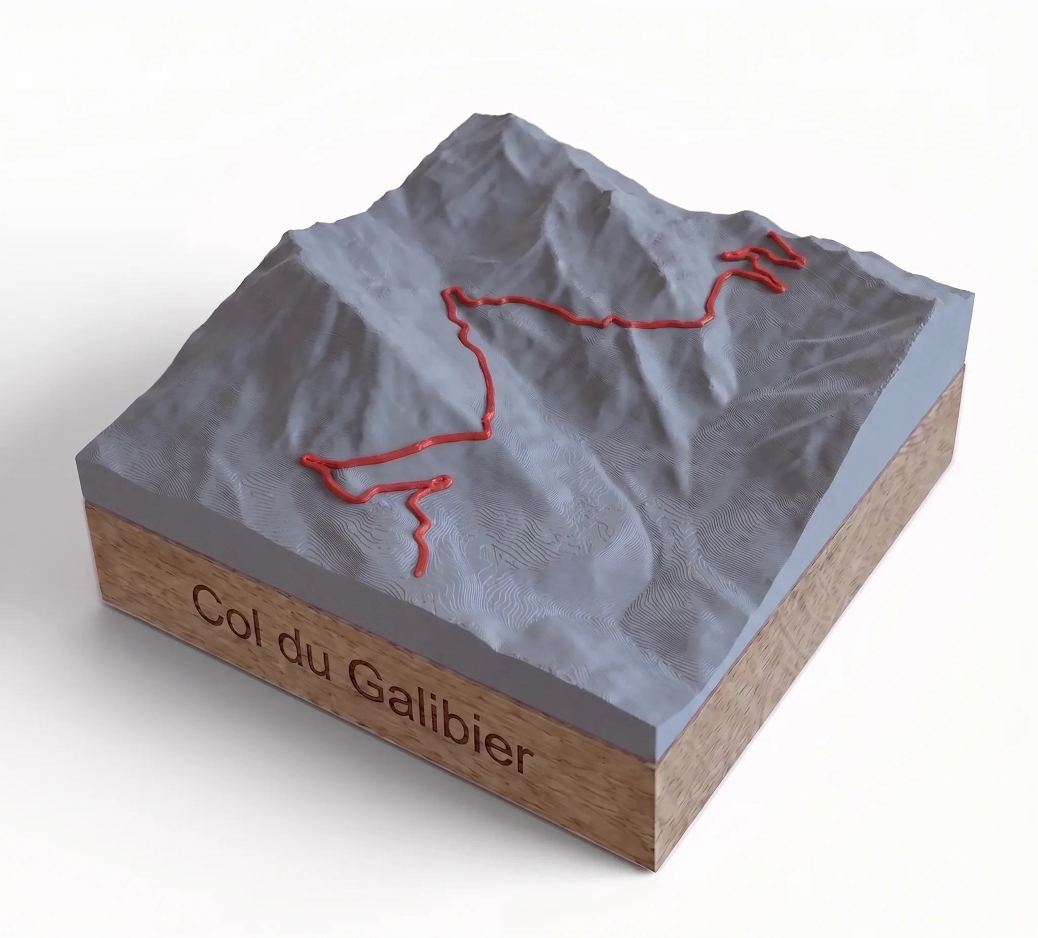
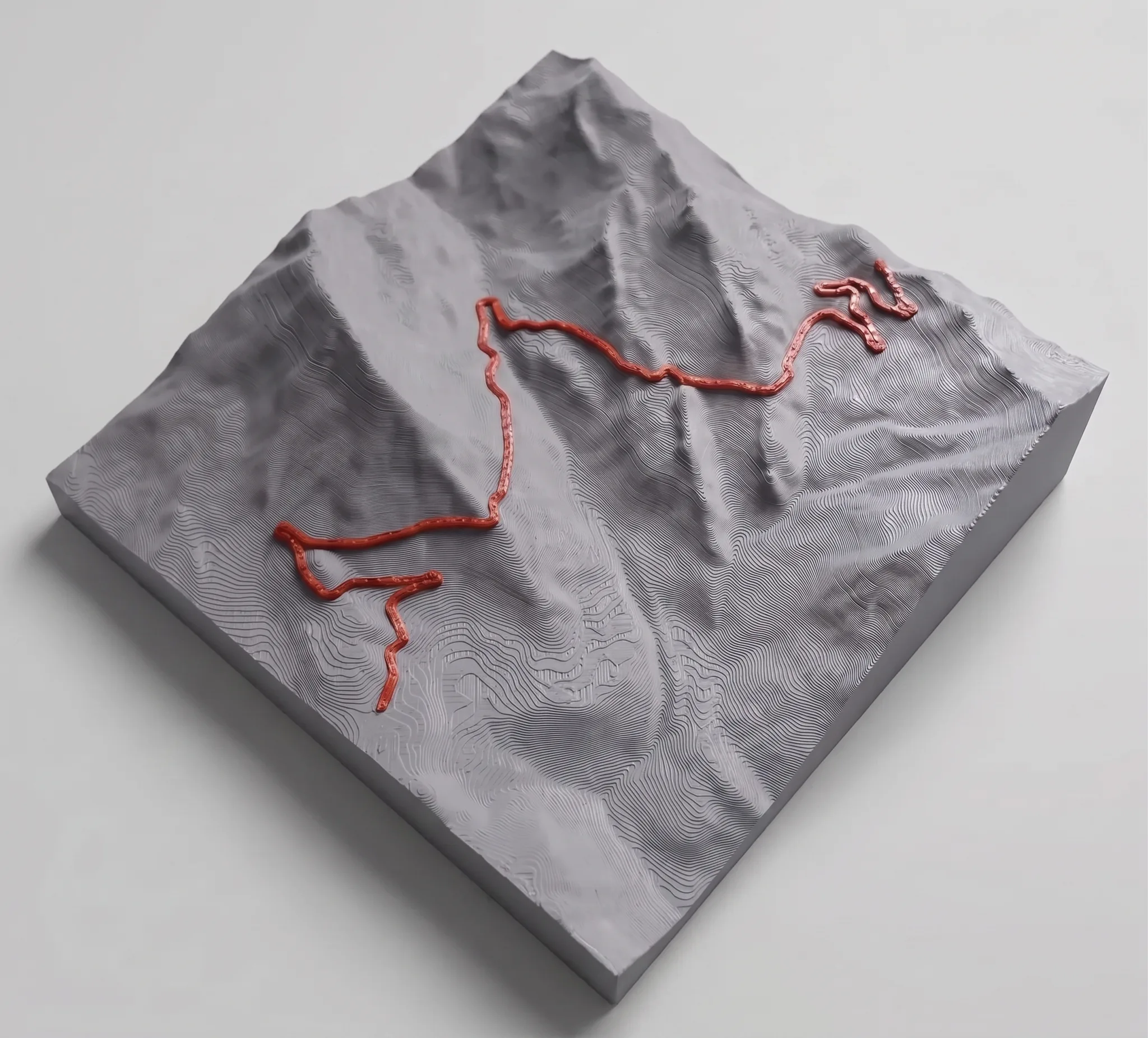
Le Galibier as a trophy. Its 3D printed topographical map, with your ascent route in relief, on an engraved oak base. Made to order in our workshop in Bourg-d’Oisans, delivered in a gift box.
Description
At an altitude of 2,642 metres, the Col du Galibier is one of the giants of the Alps. Crossed from Valloire, Saint-Michel-de-Maurienne, Briançon or the Col du Lautaret, it is among the most feared and most coveted climbs in cycling and hiking. Beyond categorisation on the roads of the Tour de France, it deserves a trophy befitting its status.
From the course to the trophy
Each 3D relief map of the Galibier is designed in three stages in our workshop in Bourg-d’Oisans, at the foot of Alpe d’Huez.
- Your GPX track or the slope of your choice serves as the basis for terrain modelling.
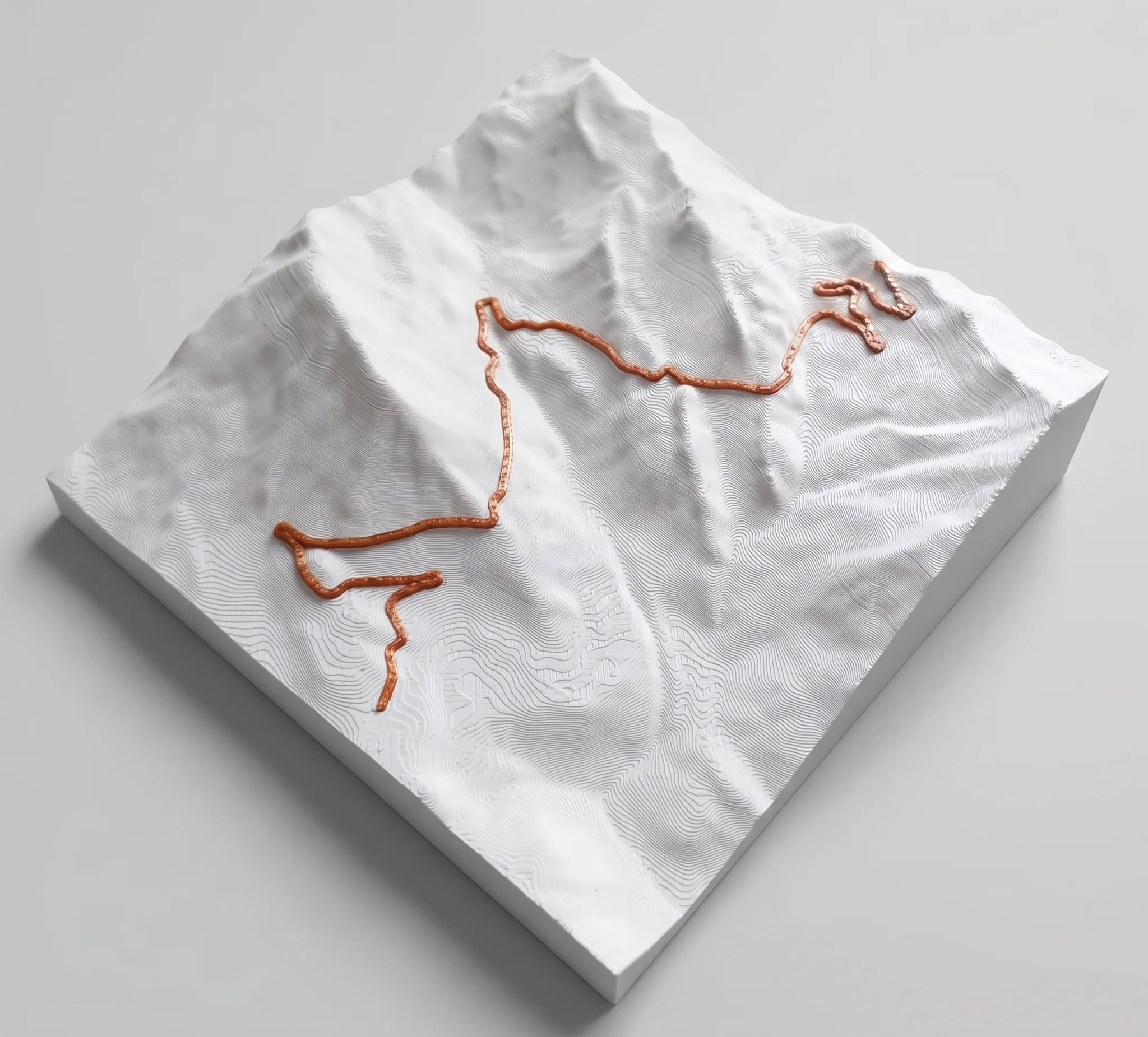
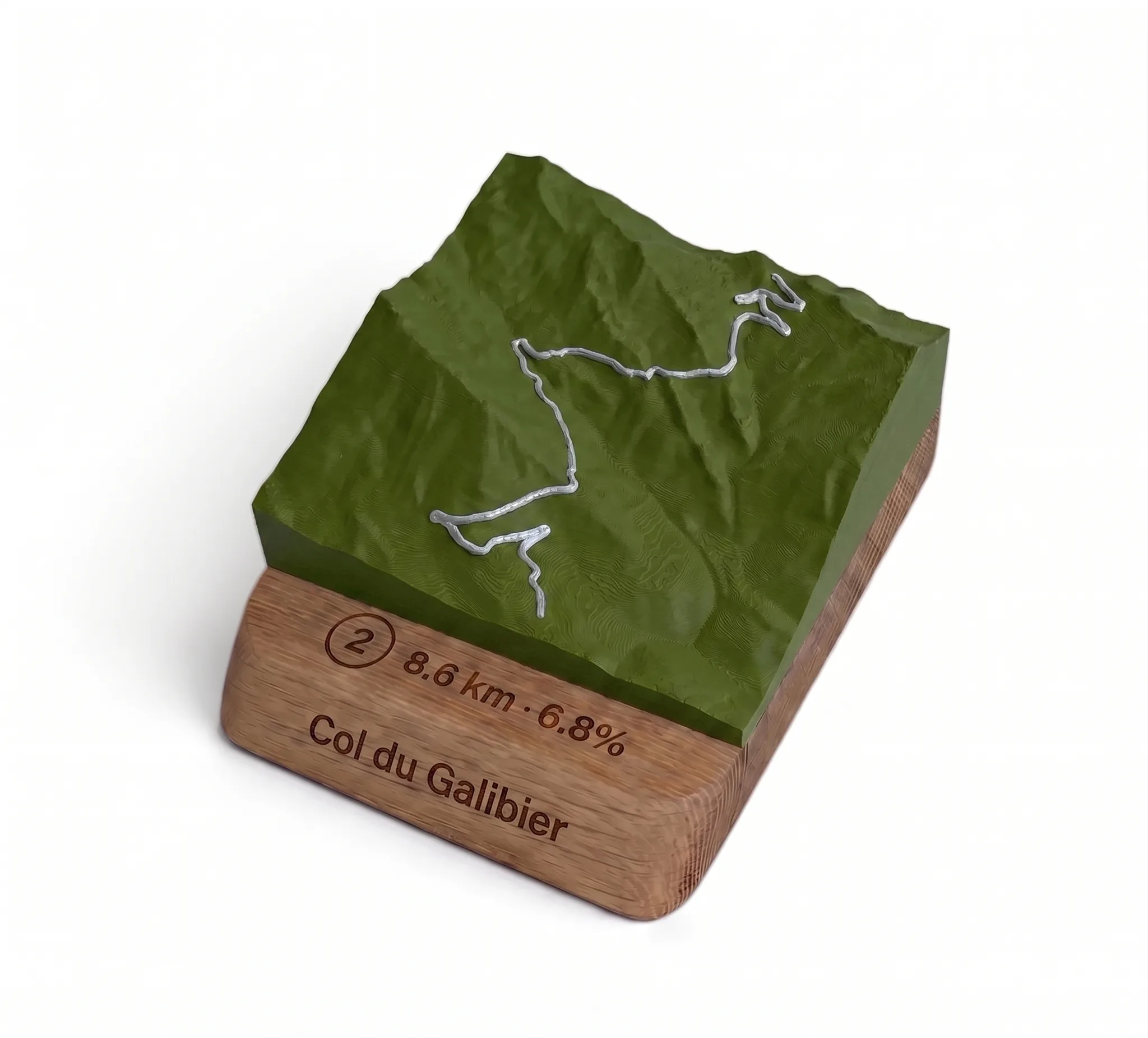
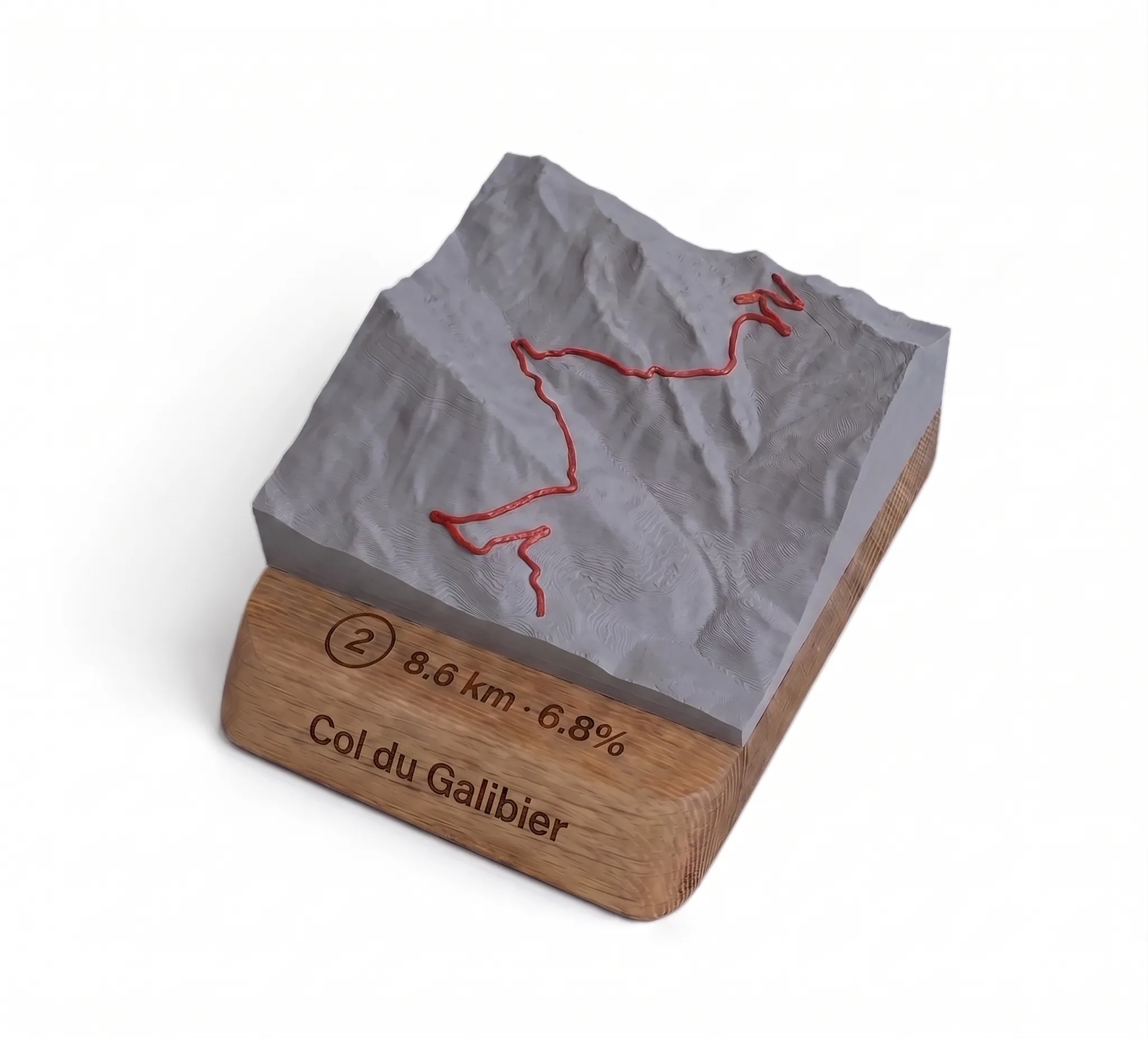
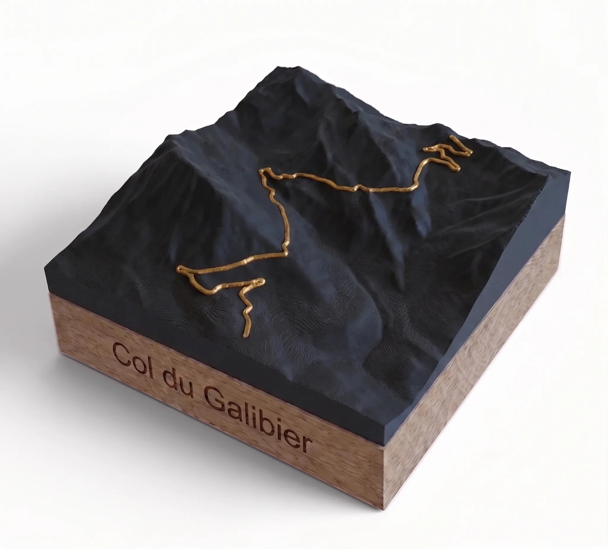
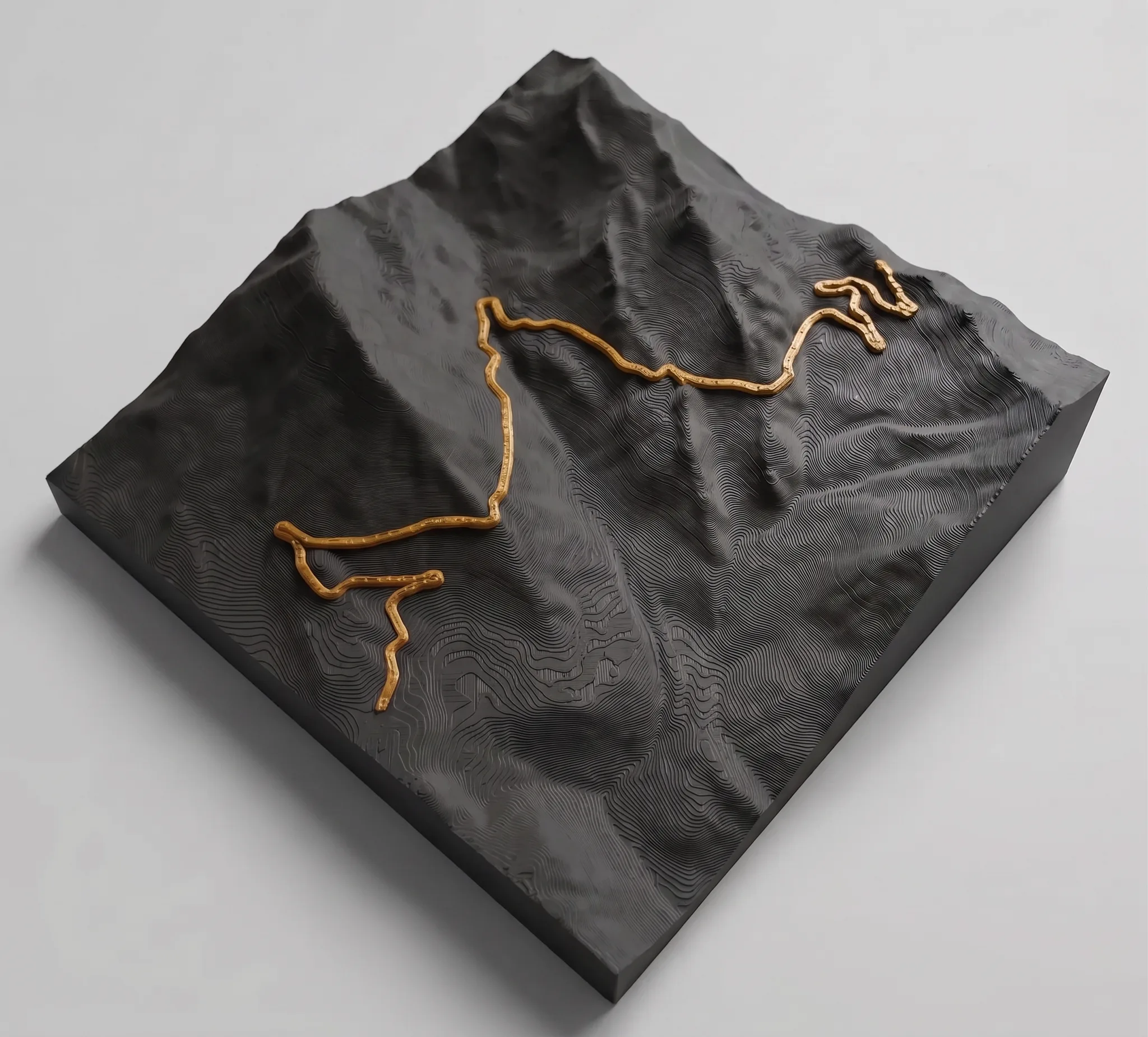
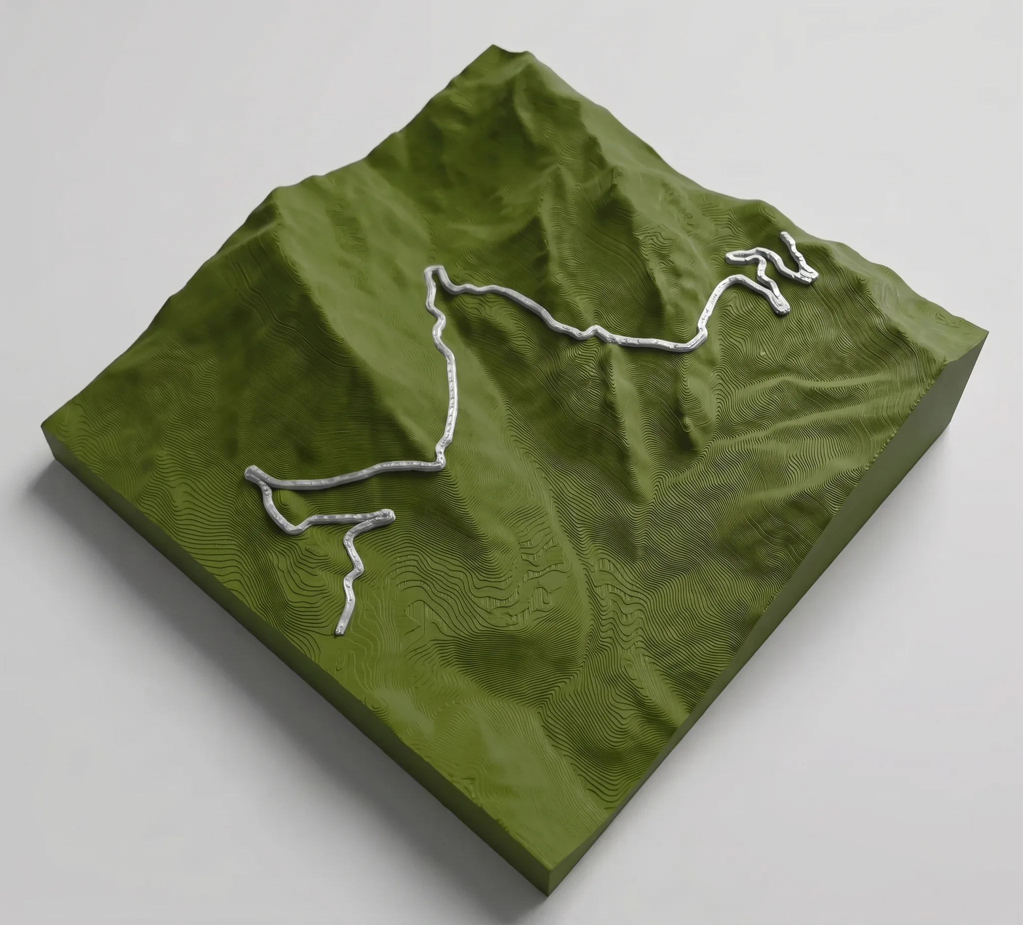
- The topography of the pass is 3D printed: every contour line, every plateau, every steep passage is faithfully reproduced on the map.
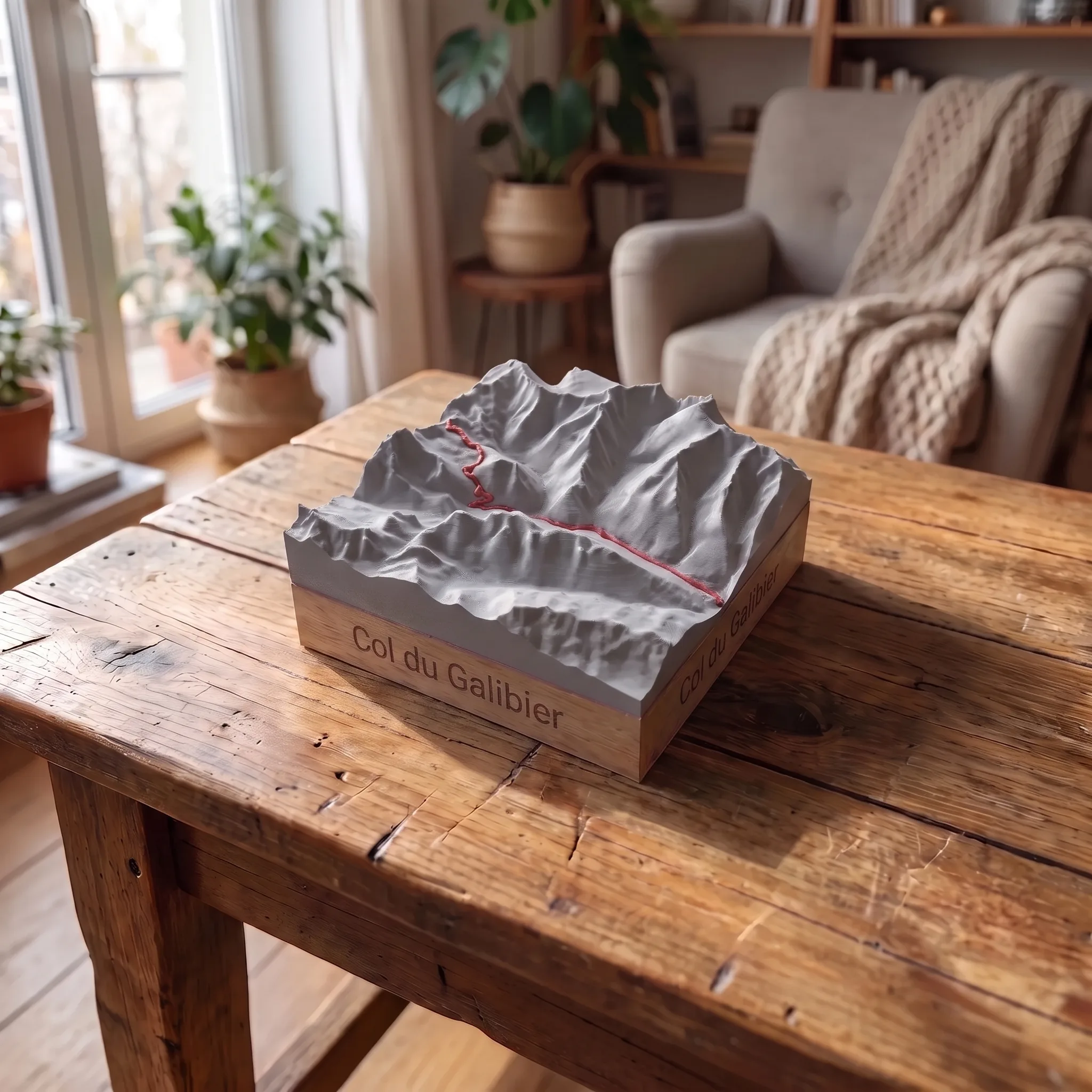
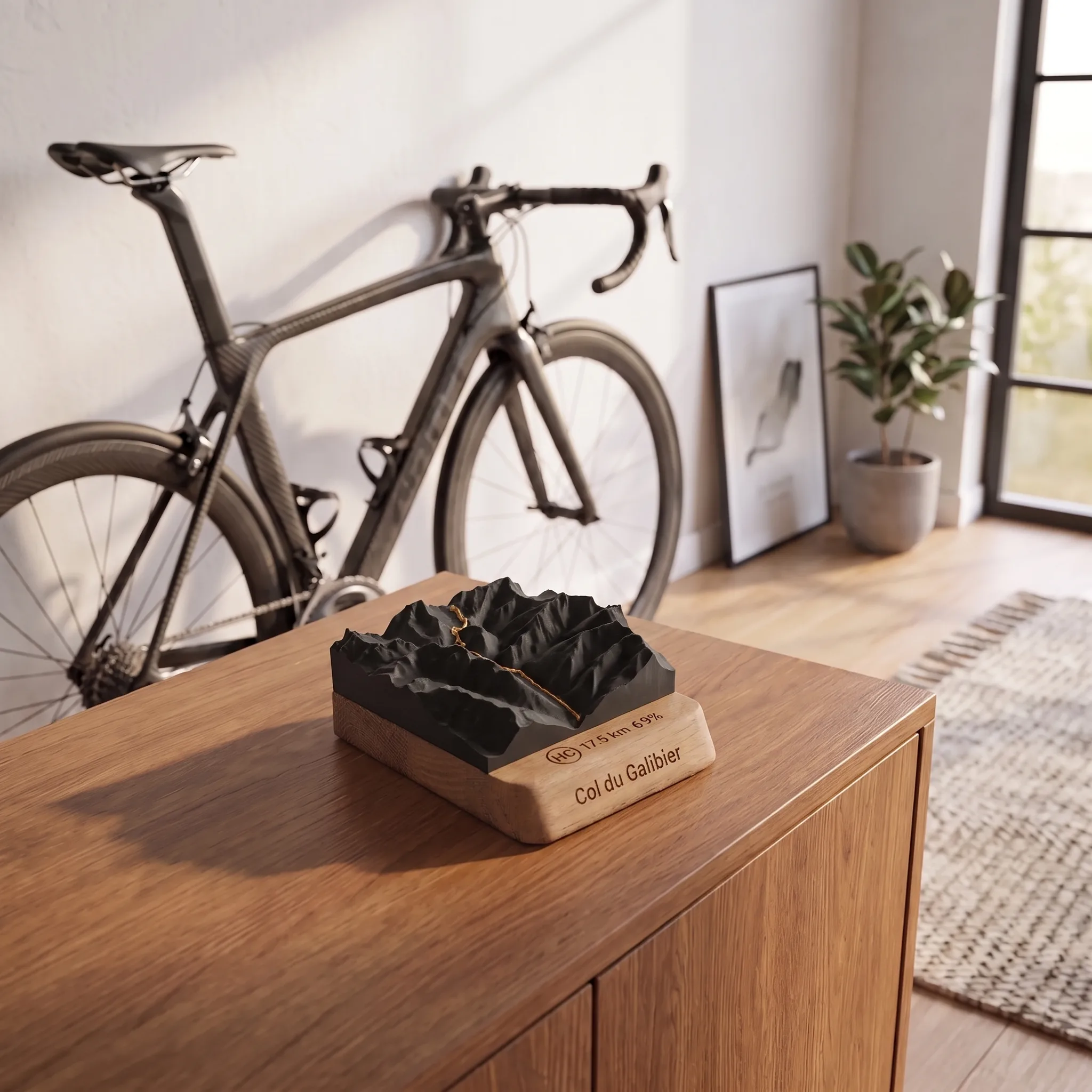
- The trophy is completed by a laser-engraved oak base, with the name of the climb, the distance, the elevation gain, and the average gradient of the ascent.
3D relief of the Col du Galibier
The Galibier rises to 2,642 metres in the Cerces massif, on the border between the Hautes-Alpes and Savoie. Classified as hors catégorie, it demands several kilometres of sustained effort from either side, with sections where the average gradient exceeds 10 %. The map faithfully reproduces this terrain: the hairpin bends winding up from the Maurienne Valley, the arid slopes above Valloire, and the ridge separating the two Alpine sides. Everything you felt in your legs is there, etched into the map.
The trophy for your climb
Reaching the Galibier is a personal affair. Whether it's your first time, a personal best, or a milestone ticked off after years of desire, the effort deserves to be visible. Placed on a desk, a shelf, or a wall, this 3D relief serves as a daily reminder of what you've achieved. It's an object designed to last, understated, precise, and carefully crafted.
Several slopes to choose from
The Galibier is conquered by several routes. Choose the side that suits your ascent:
- From Valloire
- From Saint-Michel-de-Maurienne
- From Briançon
- From the Col du Lautaret
- From Le Clapier
Each slope gives a different map, true to its own profile.
Customisable, made in France
The 3D map of Galibier is available in three formats:
- 10 x 10 cm
- 15 x 15 cm
- 20 x 20 cm
Three oak base options to choose from: Round base, Square base, Mountain only.
Four colour combinations for the pitch and layout:
- Matt white / Copper
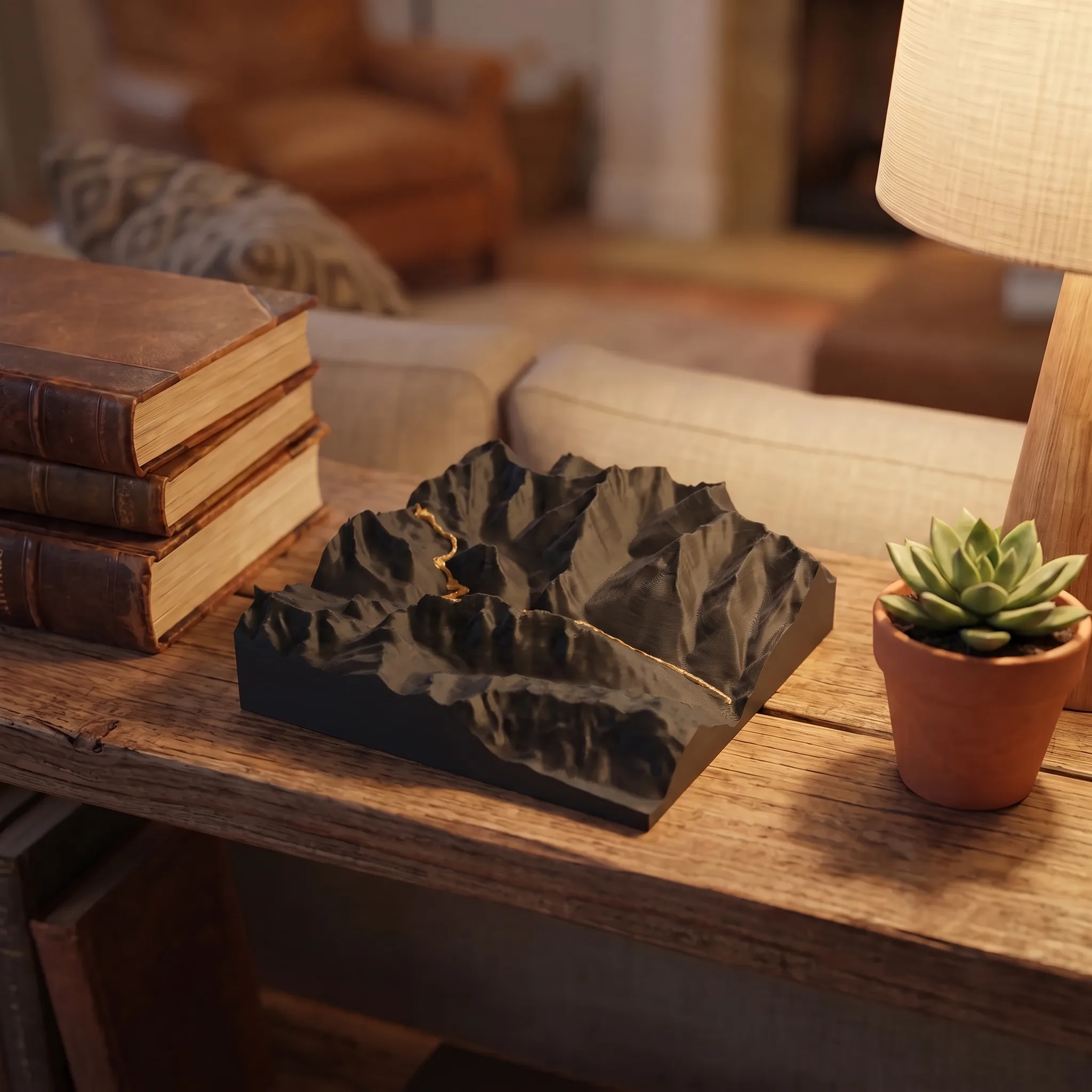
- Matt black / Gold
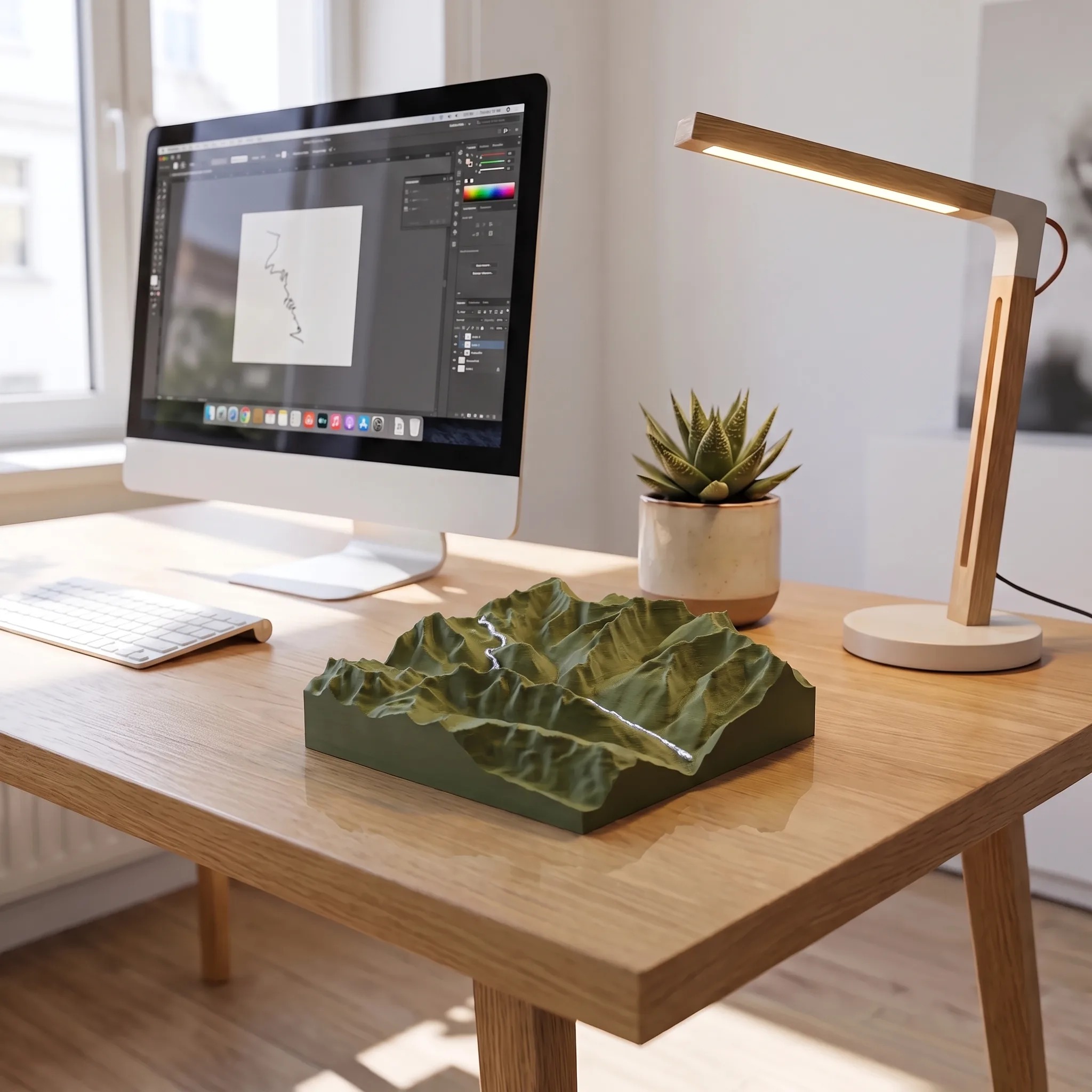
- Matt Olive / Silver
- Grey mat / Red
Printed and engraved in France, made to order in our workshop in Bourg-d’Oisans. Delivered in a gift box, ready to give or to keep.
Additional information
| Foreseeable | From Valloire, from Le Clapier, from Saint-Michel-de-Maurienne, from Briançon, from the Col du Lautaret |
|---|---|
| Support | Rounded base, Square base, Single mountain |
| Colour | Matte white / Copper, Matte black / Gold, Matte olive green / Silver, Matte grey / Red |
| Dimension | 10 cm × 10 cm, 15 cm × 15 cm, 20 cm × 20 cm |
Reviews
There are no reviews yet.