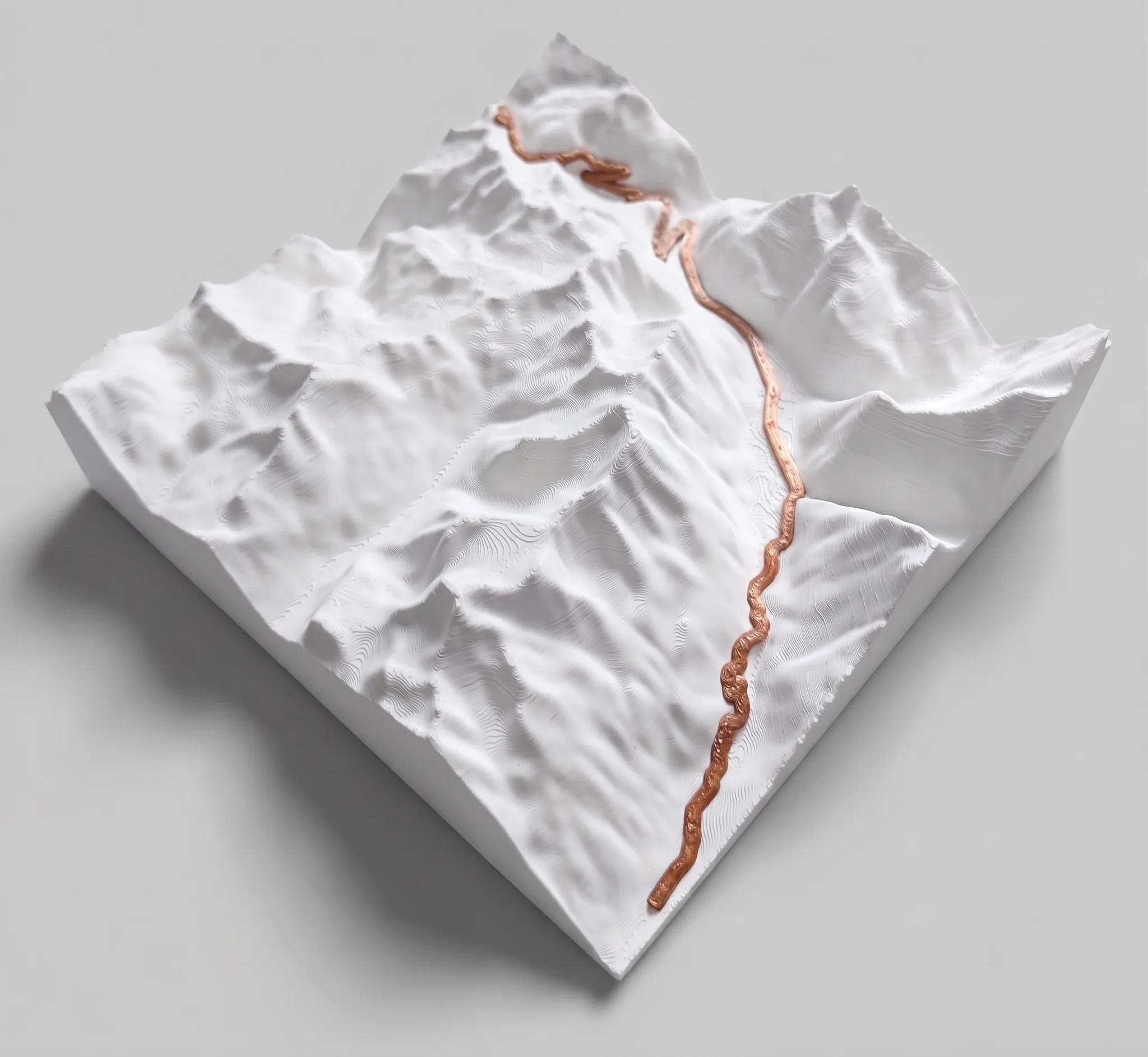
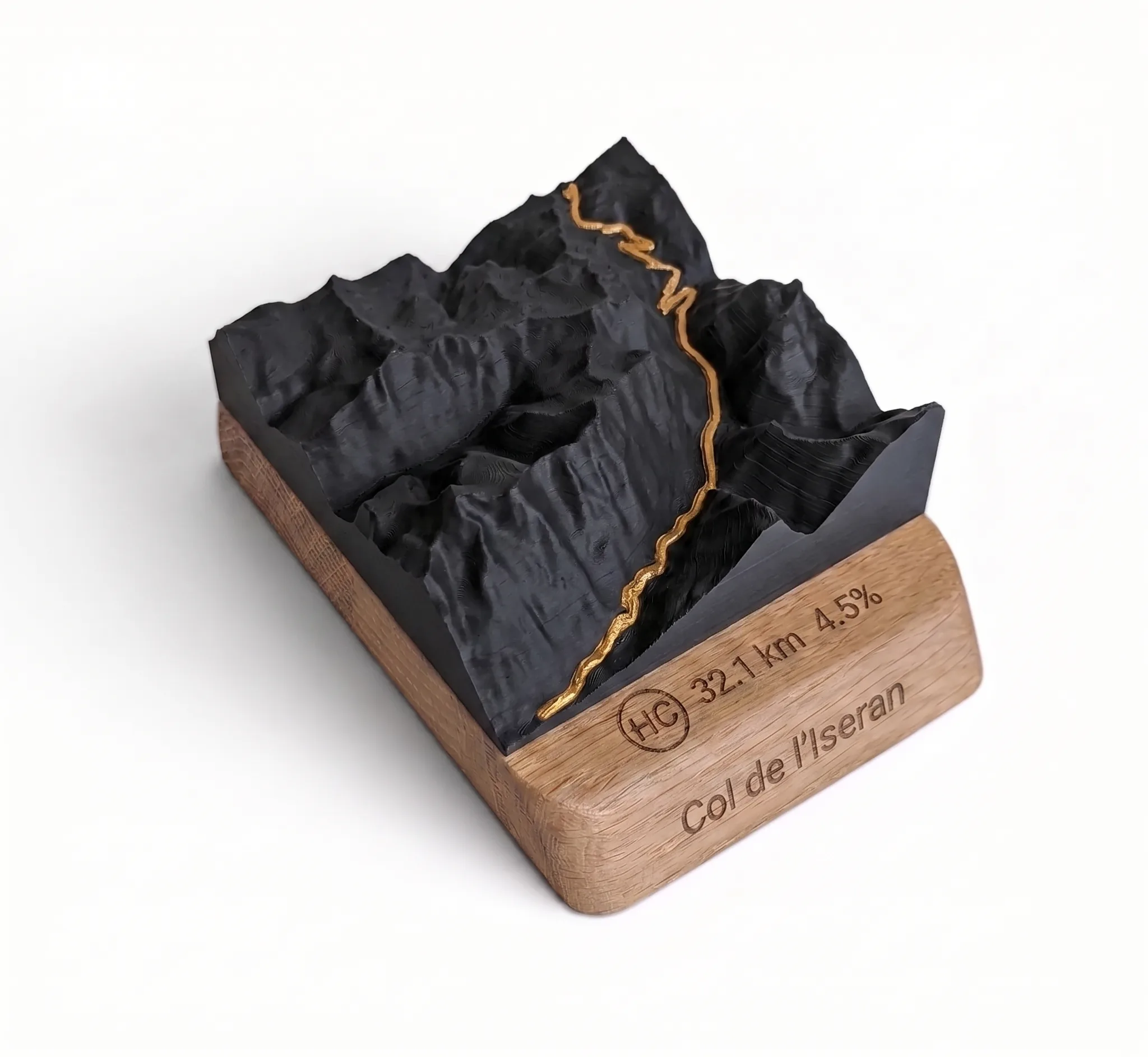
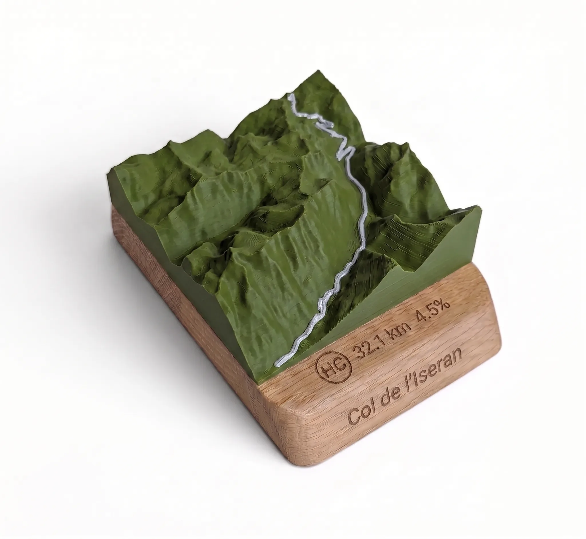
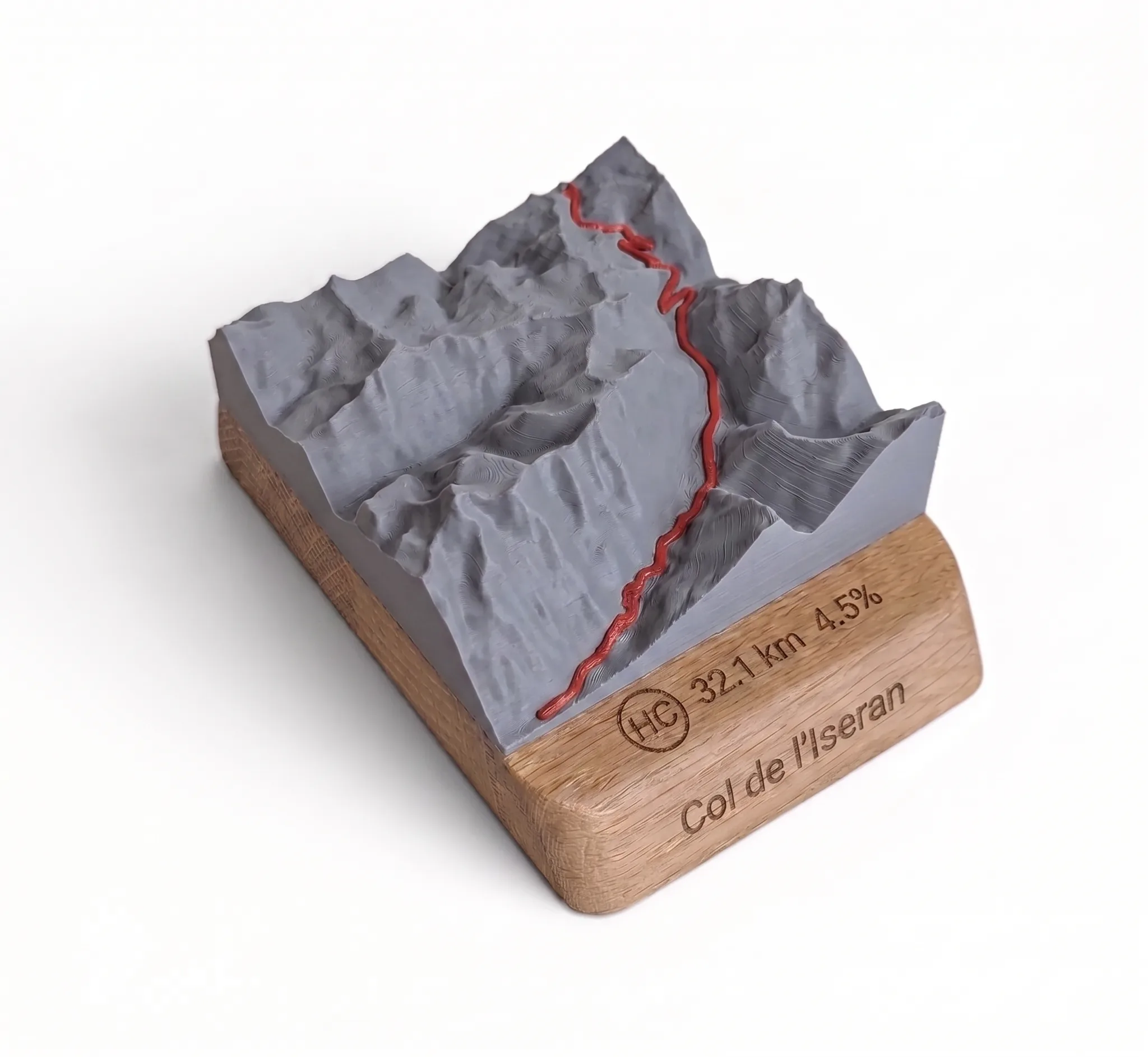
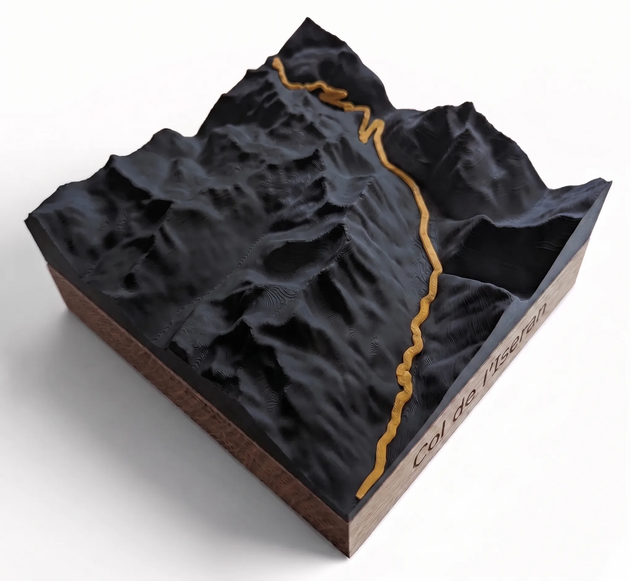
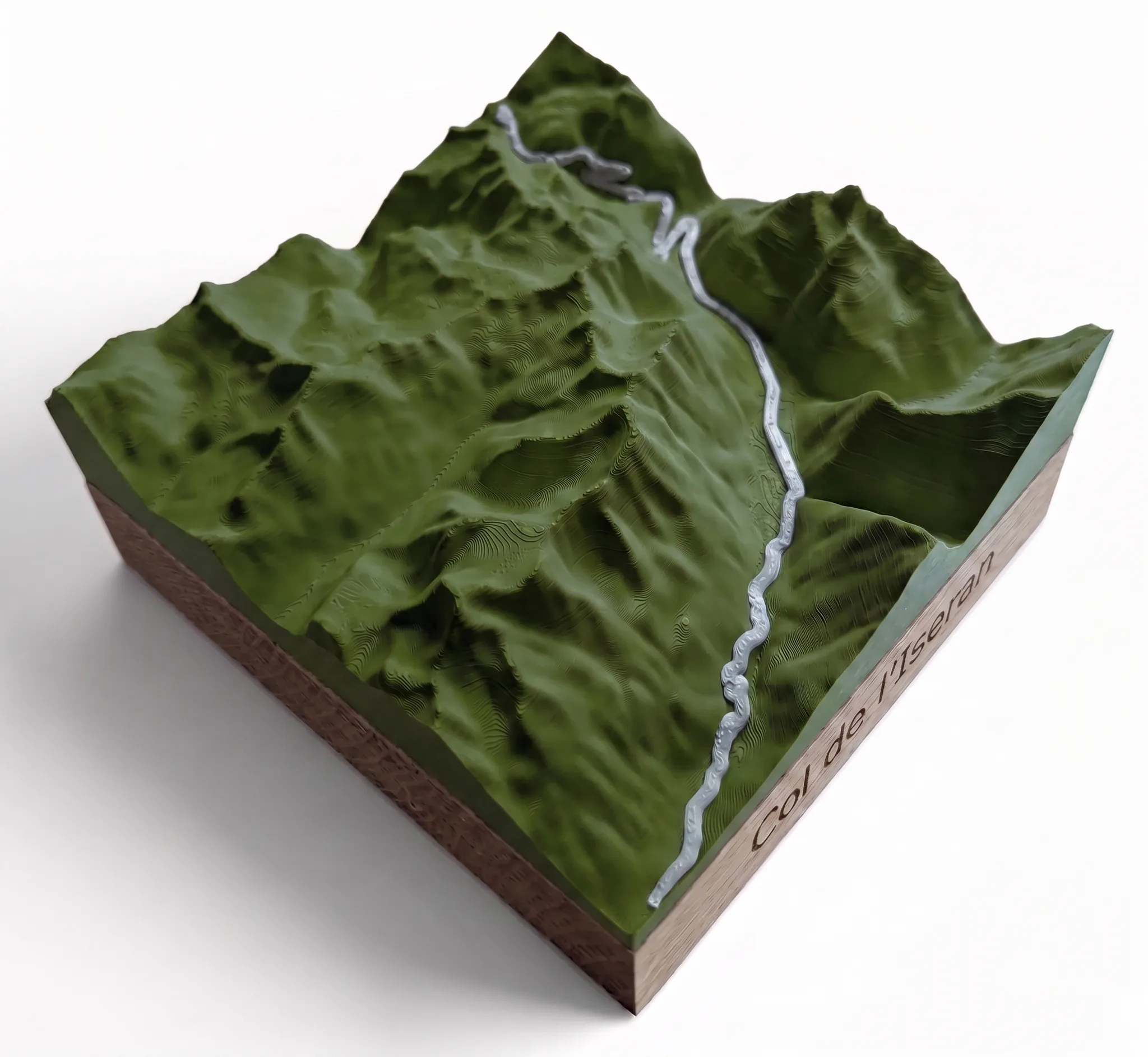
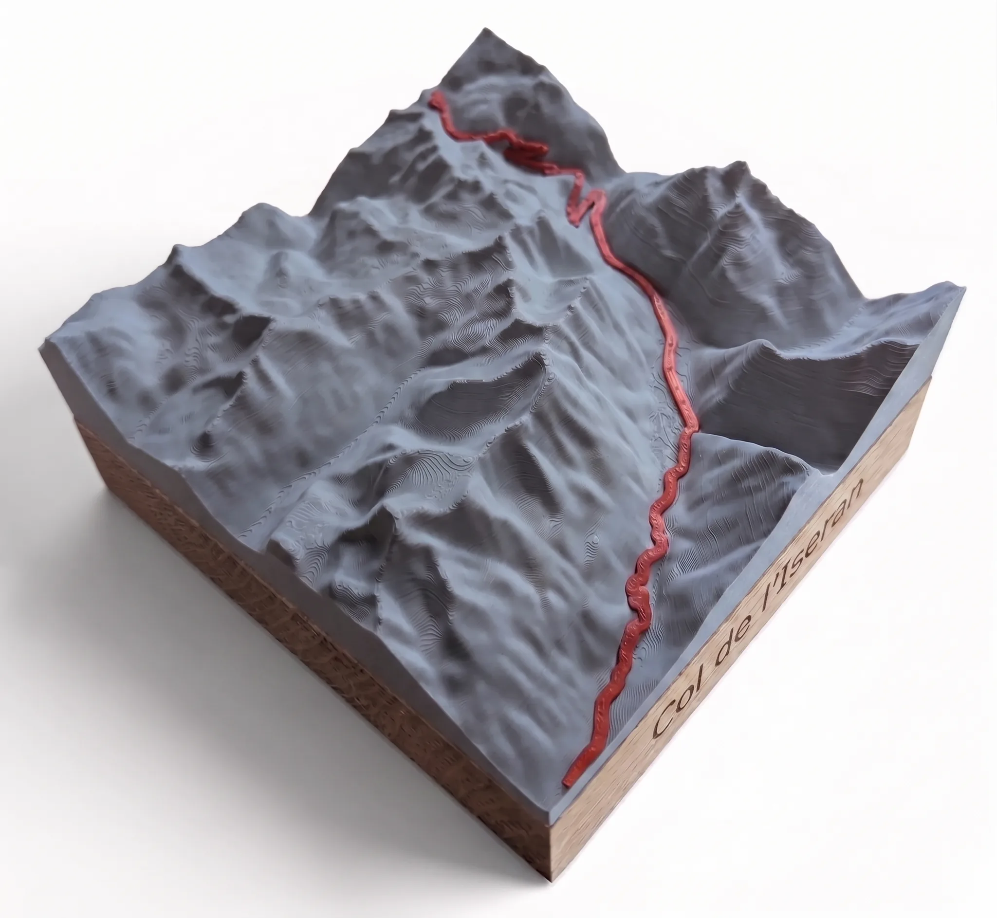
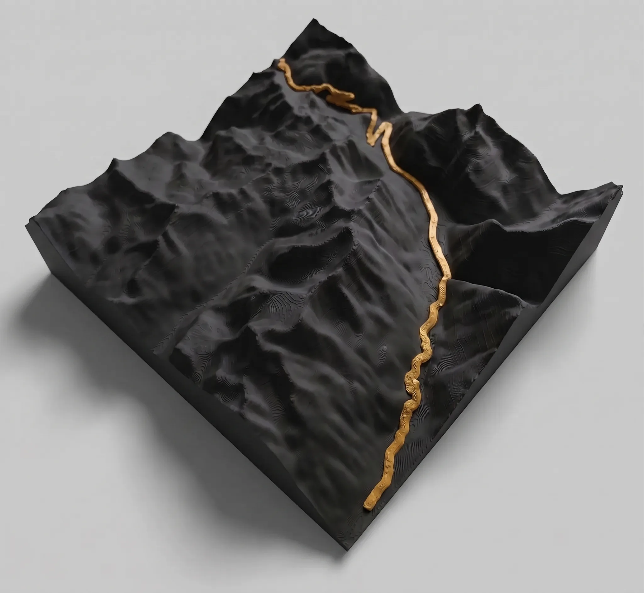
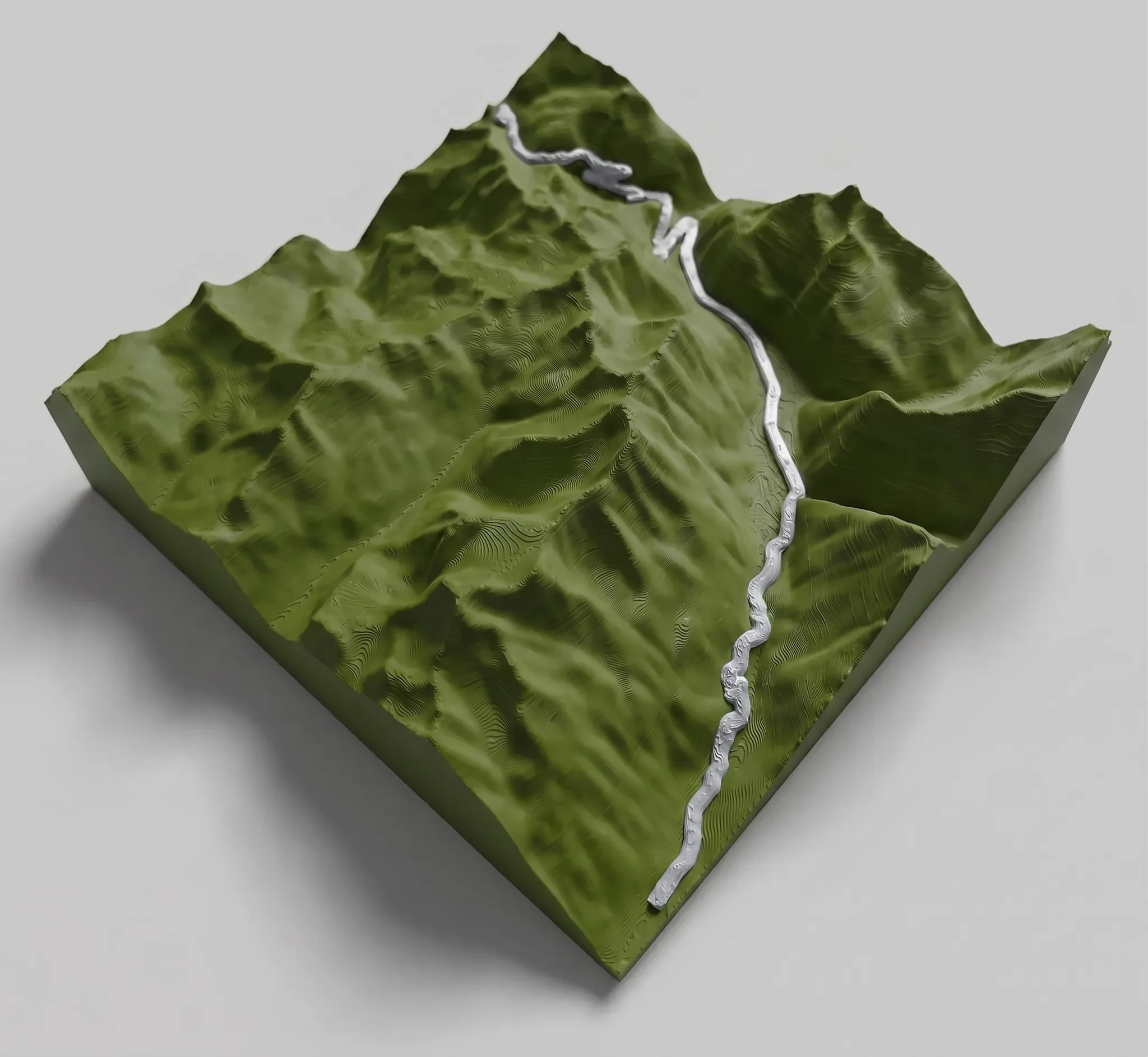
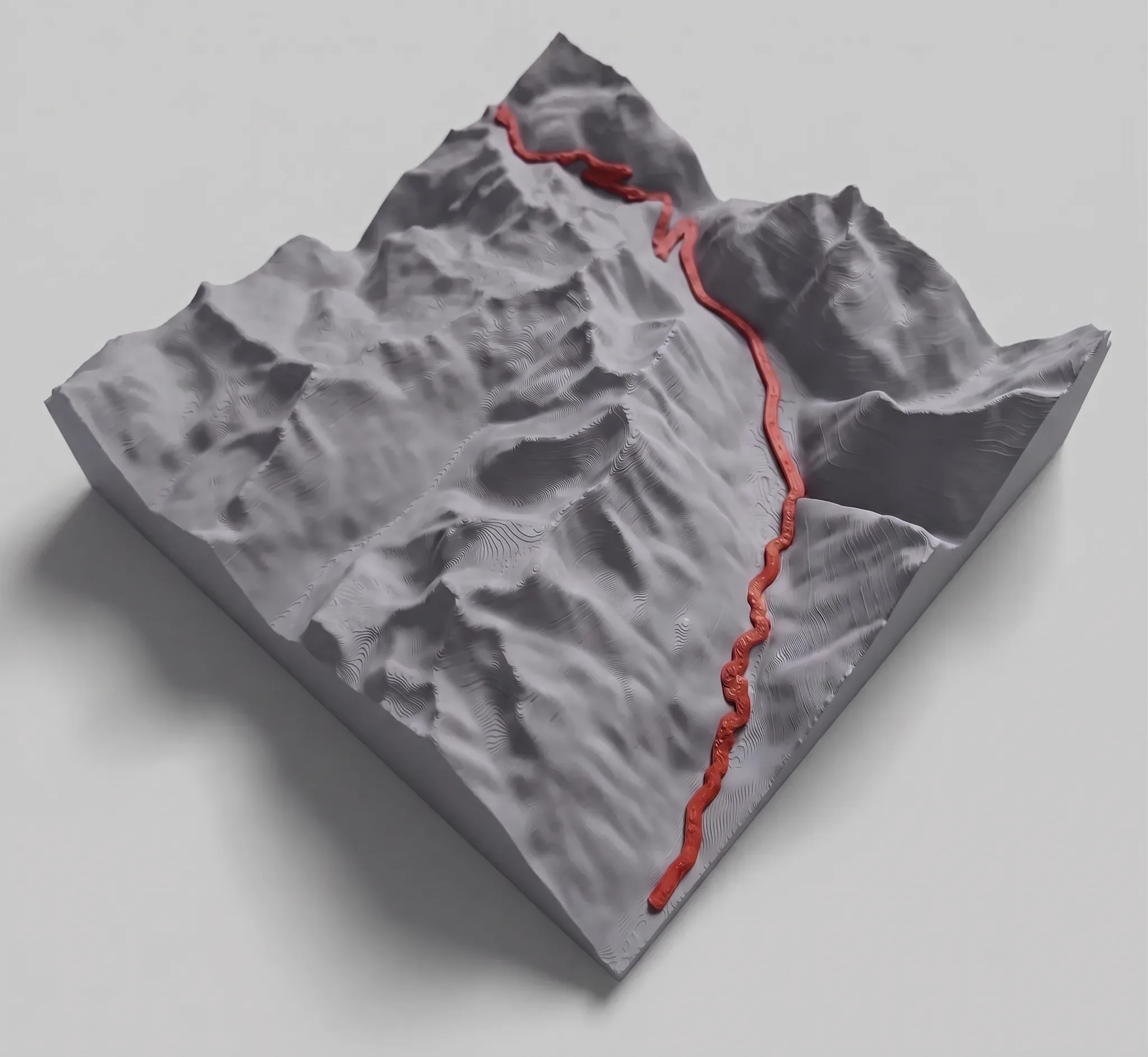
Col de l'Iseran — 3D relief map
Price range: 49,90 € through 119,90 €
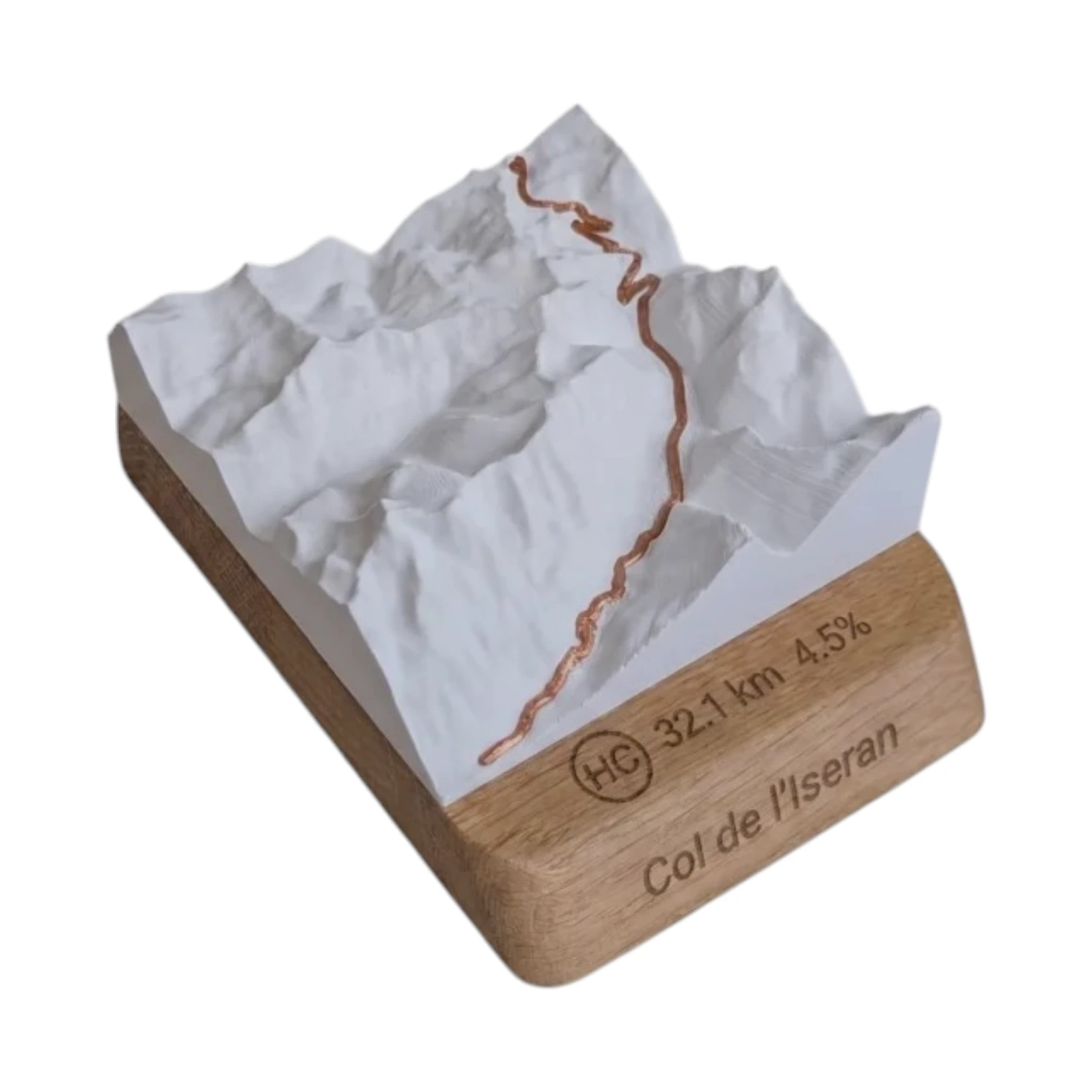
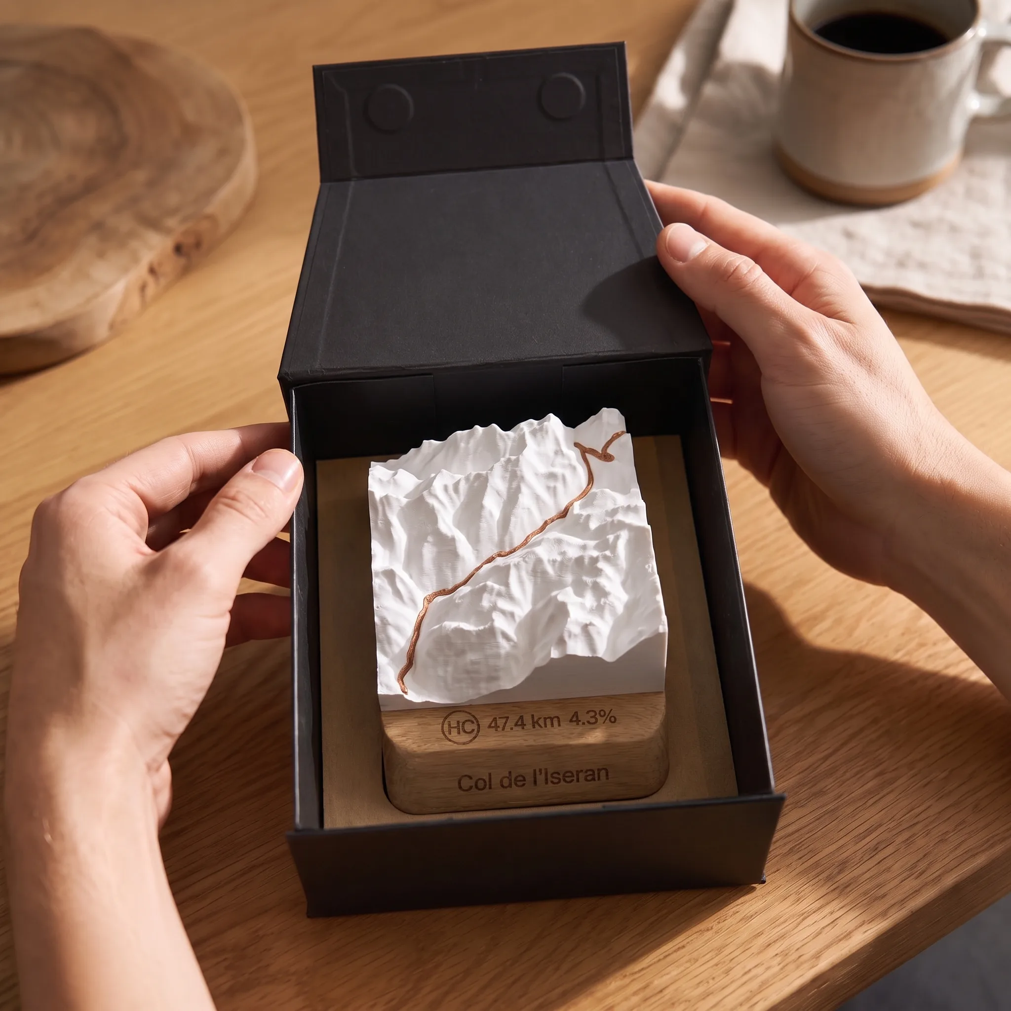
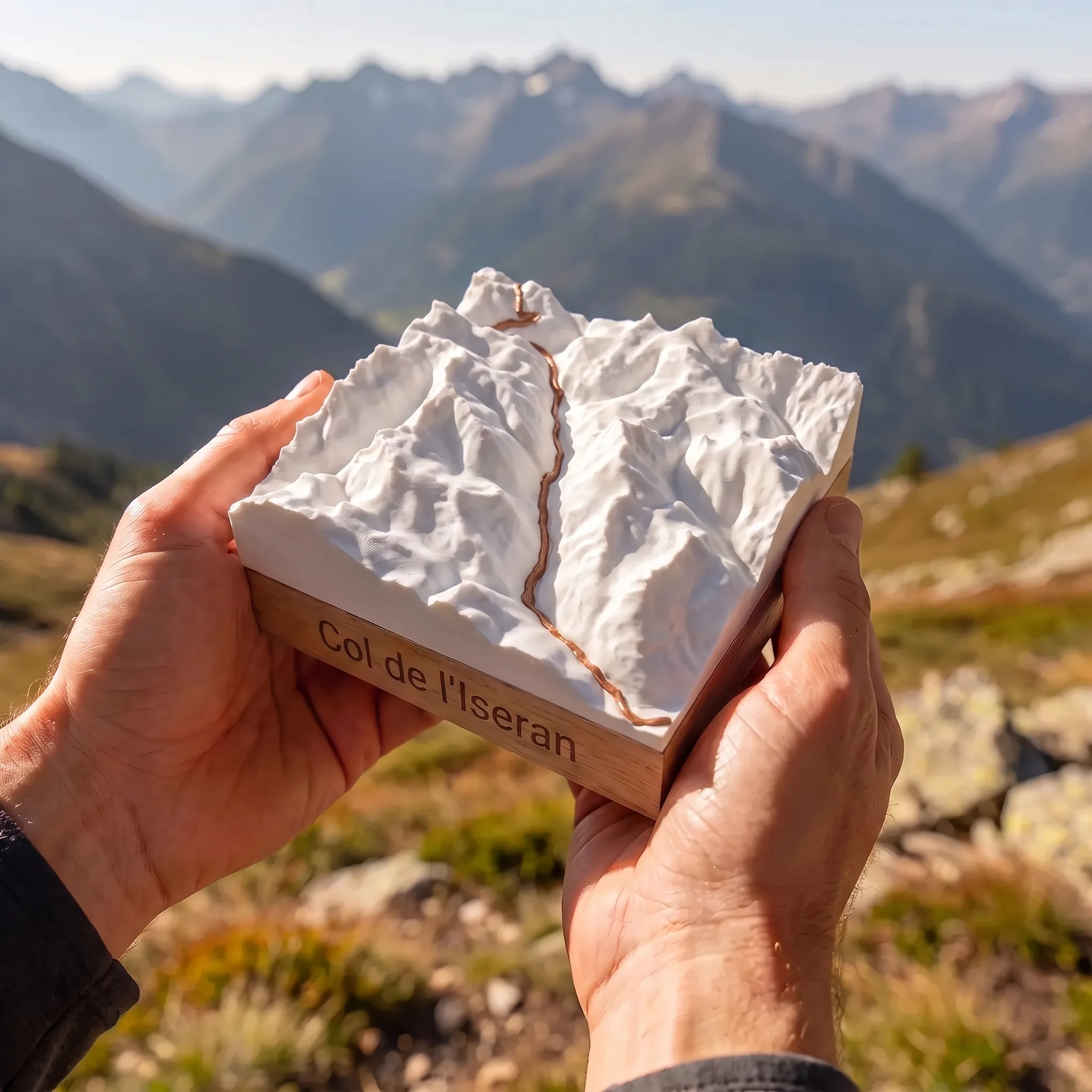
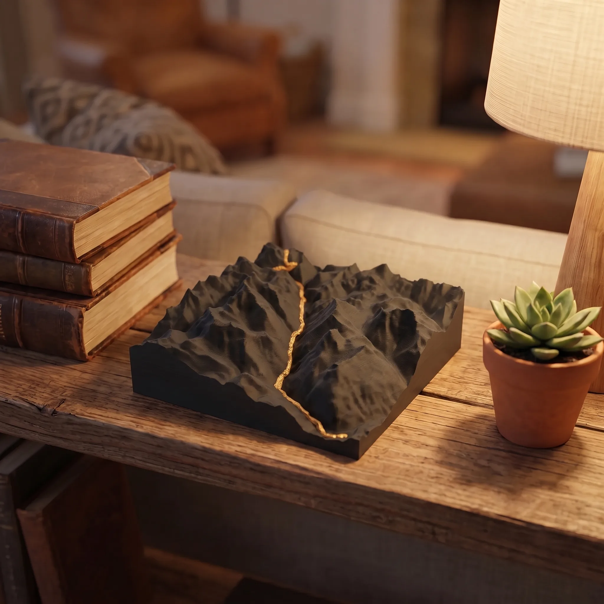
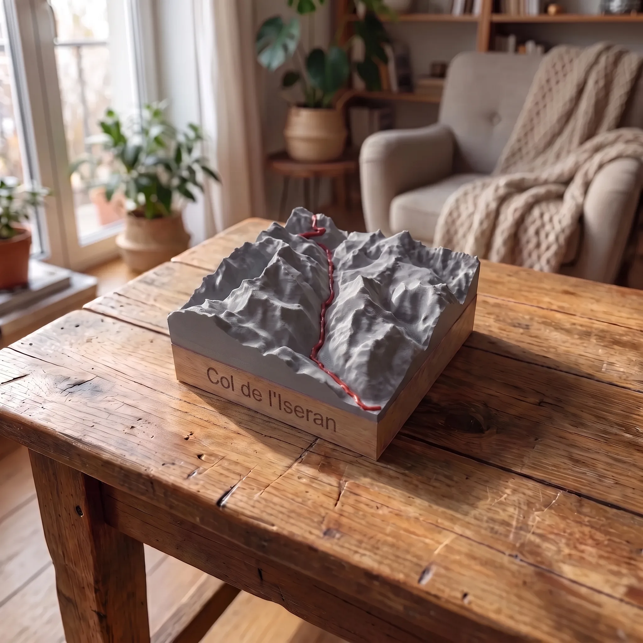
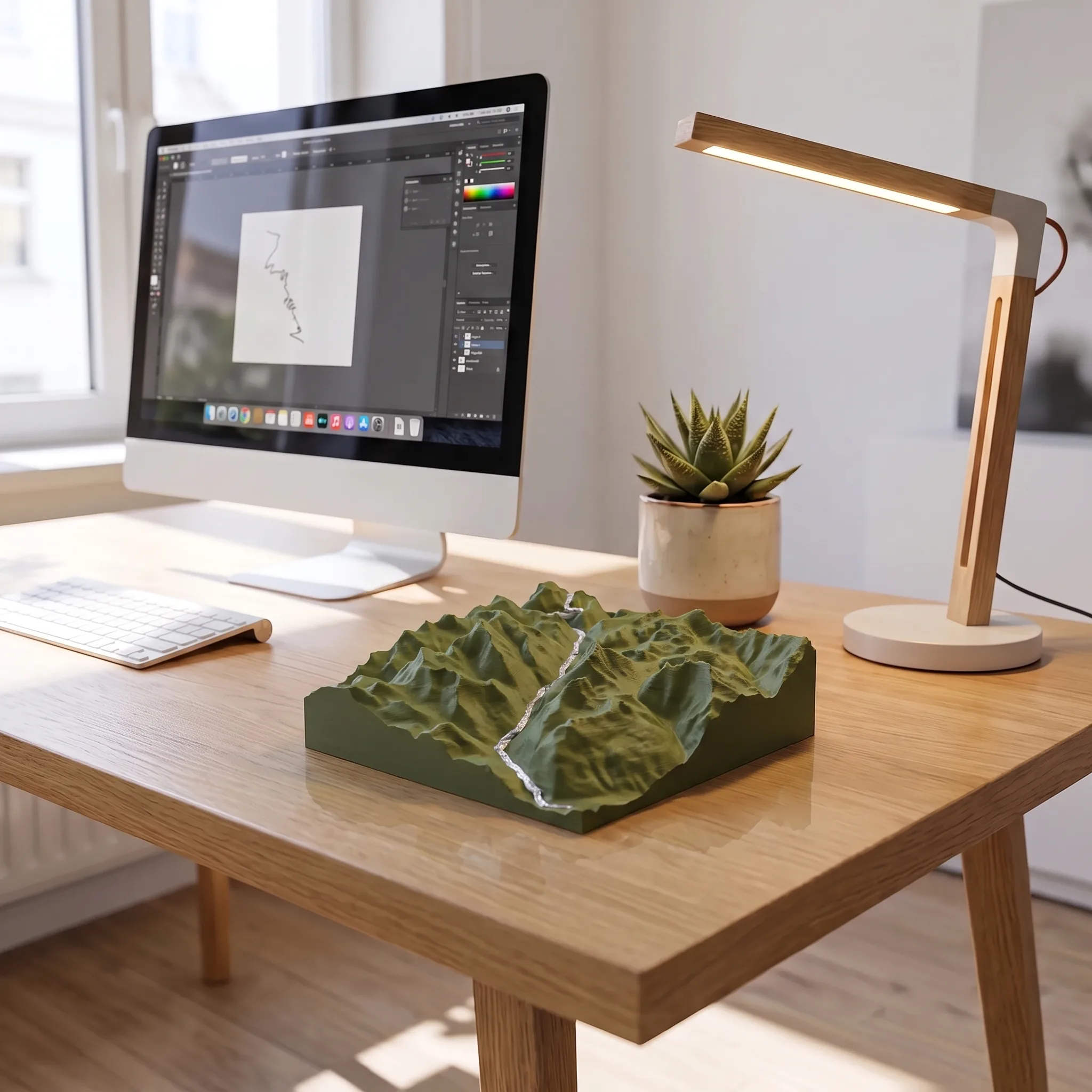
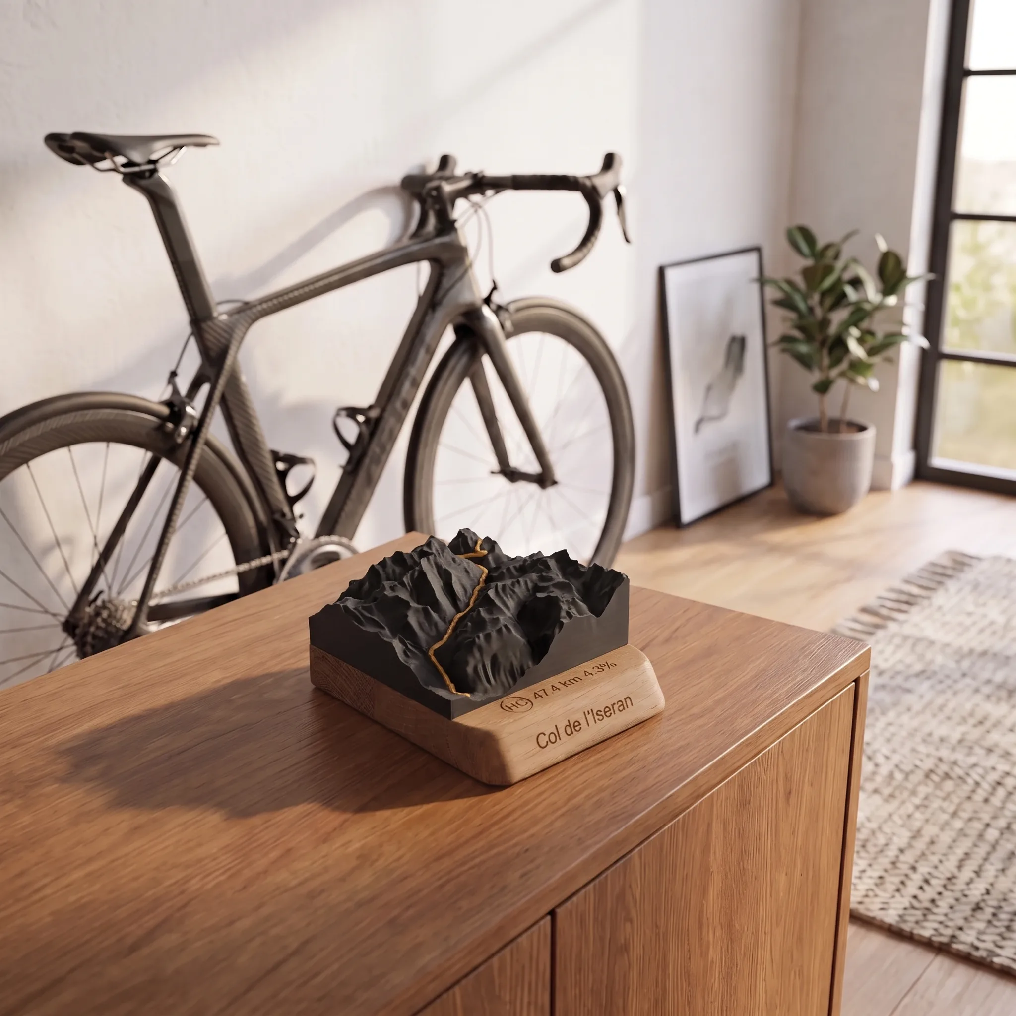
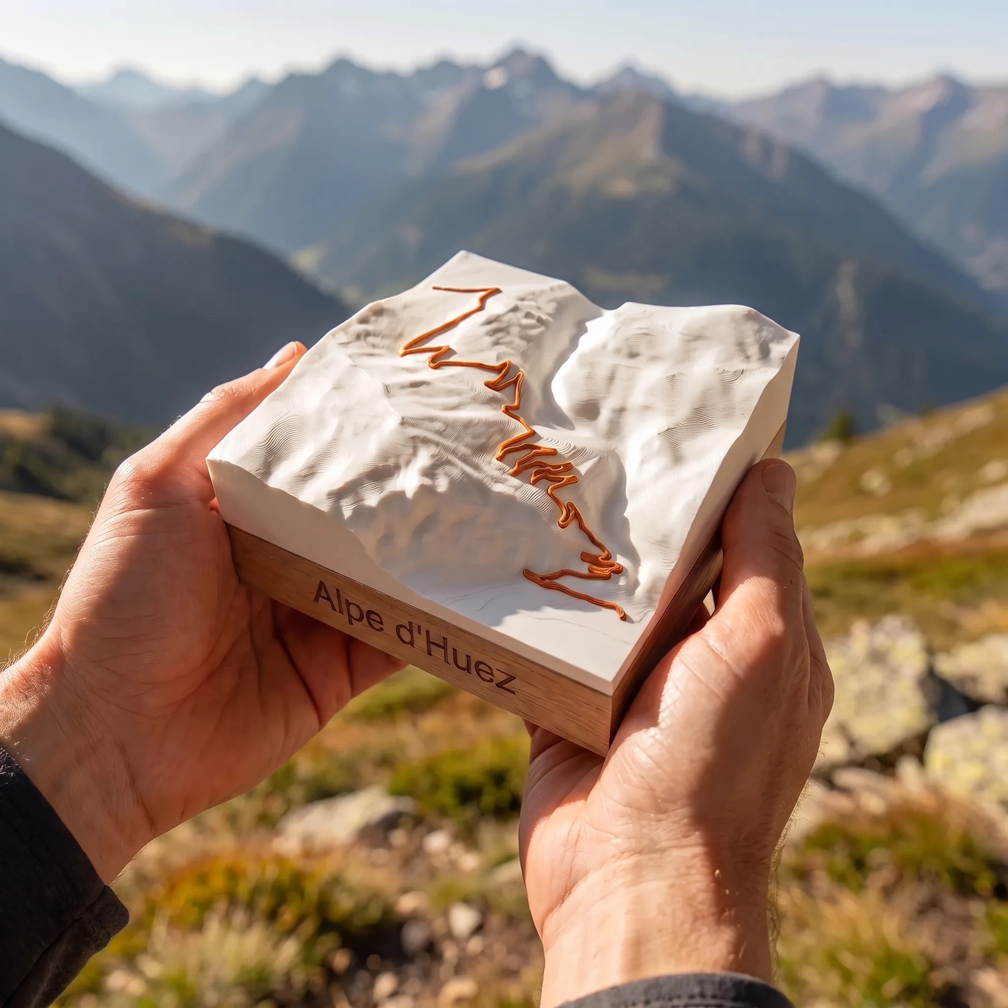
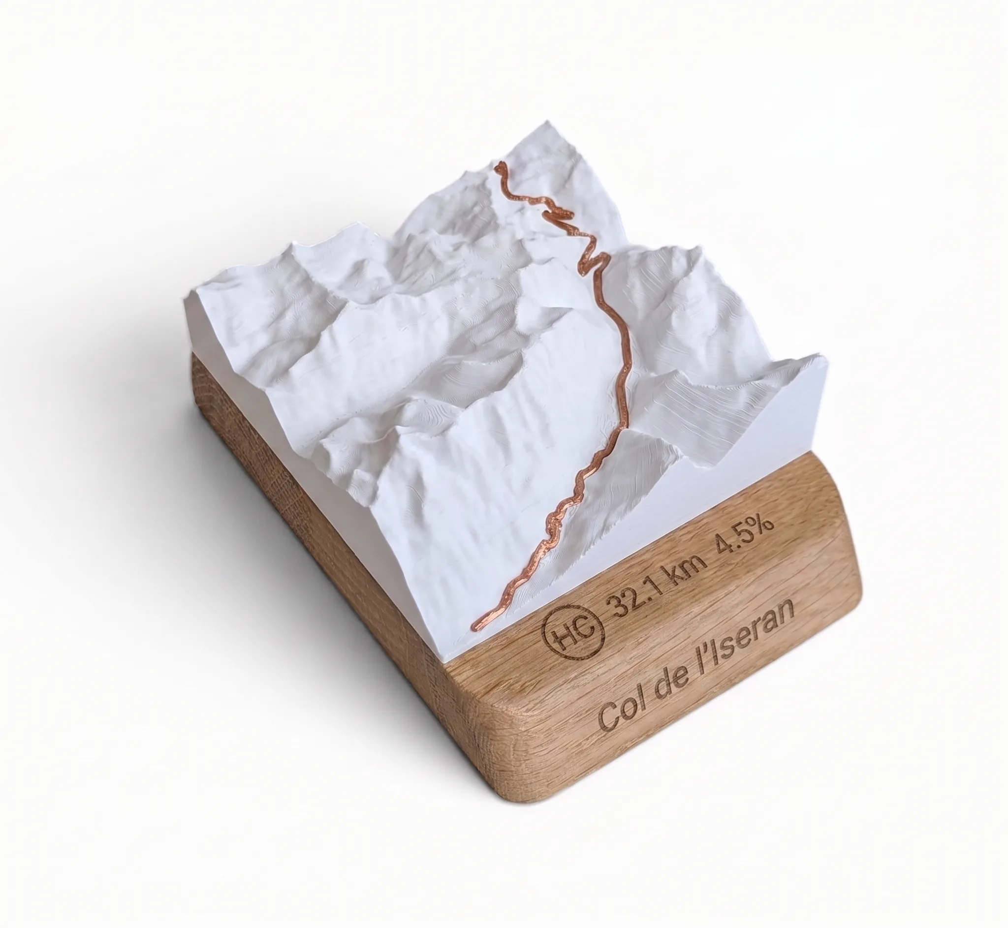
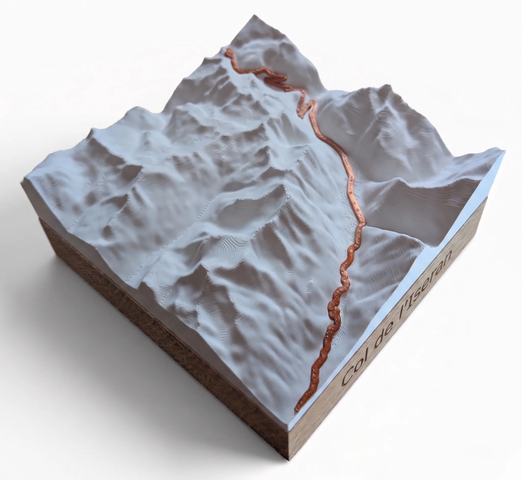
The highest paved mountain pass in Europe, captured in relief. The 3D map of the Col de l’Iseran faithfully reproduces every hairpin and every metre of climbing of this legendary Alpine ascent. Engraved oak base, gift box included, printed and engraved in France to order.
The map on video 🎬
Description
Europe’s highest road pass comes into your home
At 2,770 metres, the Col de l’Iseran links the Haute-Tarentaise to the Haute-Maurienne, between the Mont-Cenis and Vanoise massifs. From Bourg-Saint-Maurice, Val-d’Isère or Lanslebourg, each side tells a different climb, with its deceptive flat sections, its last hairpins and the view that opens up at the top. For the cyclists, hikers and trail runners who have climbed it, the Iseran isn’t just a pass: it’s a benchmark. This relief trophy is made to keep it with them.
From route to trophy
Every 3D map of the Col de l’Iseran is made in three steps from the real topographic data of the area.
- The GPX track of the climb is merged with the relief data to place the route exactly on the terrain.
- The topography of the pass is 3D-printed in faithful raised relief: every contour line, every steep slope, every flat section is visible.
- The oak base is laser-engraved with the data of the climb — distance, elevation gain, average gradient and name of the pass — turning the map into a true personal trophy.
The Col de l’Iseran in 3D relief
Europe’s highest paved pass, the Iseran is rated hors catégorie in the Tour de France. From Bourg-Saint-Maurice, the climb covers around 47 kilometres with about 2,100 metres of climbing and an average gradient of around 4.5%. From Val-d’Isère, it is shorter but much tougher, with around 16 kilometres and 1,000 metres of climbing at an average close to 7%. From Lanslebourg in the Maurienne, the climb runs to about 33 kilometres with nearly 1,600 metres of climbing. The pass lies in the Vanoise National Park, where the Arc and Isère valleys meet.
These features are accurately shown on the relief map: the terrain reads at a glance, and the raised route of the climb leads the eye to the summit.
The trophy of your climb
Climbing the Iseran means reaching a summit few people reach under their own steam. Whether under the July sun during the Tour de France, or as a personal challenge by bike or on foot from the Maurienne or the Tarentaise, every climb deserves to be remembered. This relief trophy puts the achievement on a shelf, a desk or a wall. It’s like no other, because it’s made to order from the exact data of this pass and the climb you chose.
It also makes a fitting gift for a cyclist, hiker or trail runner who has ticked the Iseran off their list.
Several sides to choose from
The 3D map of the Col de l’Iseran is available with the route of three different climbs.
- From Bourg-Saint-Maurice: the north side through the Tarentaise, long and gradual, by way of the Isère gorges and the Val d’Isère.
- From Val-d’Isère: the most iconic side, short and steep, the one Tour riders attack in front of the cameras.
- From Lanslebourg: the Maurienne side, less ridden but just as demanding, climbing up the upper Arc valley.
Choose the side of your climb when you order.
Customisable, made in France
The 3D map of the Col de l’Iseran comes in three sizes and can be customised to your liking.
- Available sizes: 10 x 10 cm, 15 x 15 cm, 20 x 20 cm.
- Base shapes: rounded base, square base, mountain only (no base).
- Colour combinations: matt white / copper, matt black / gold, matt olive green / silver, matt grey / red.
Every piece is printed and engraved in France, in our workshop in Bourg-d’Oisans, at the foot of the great Alpine climbs. Production starts when you order: every trophy is unique.
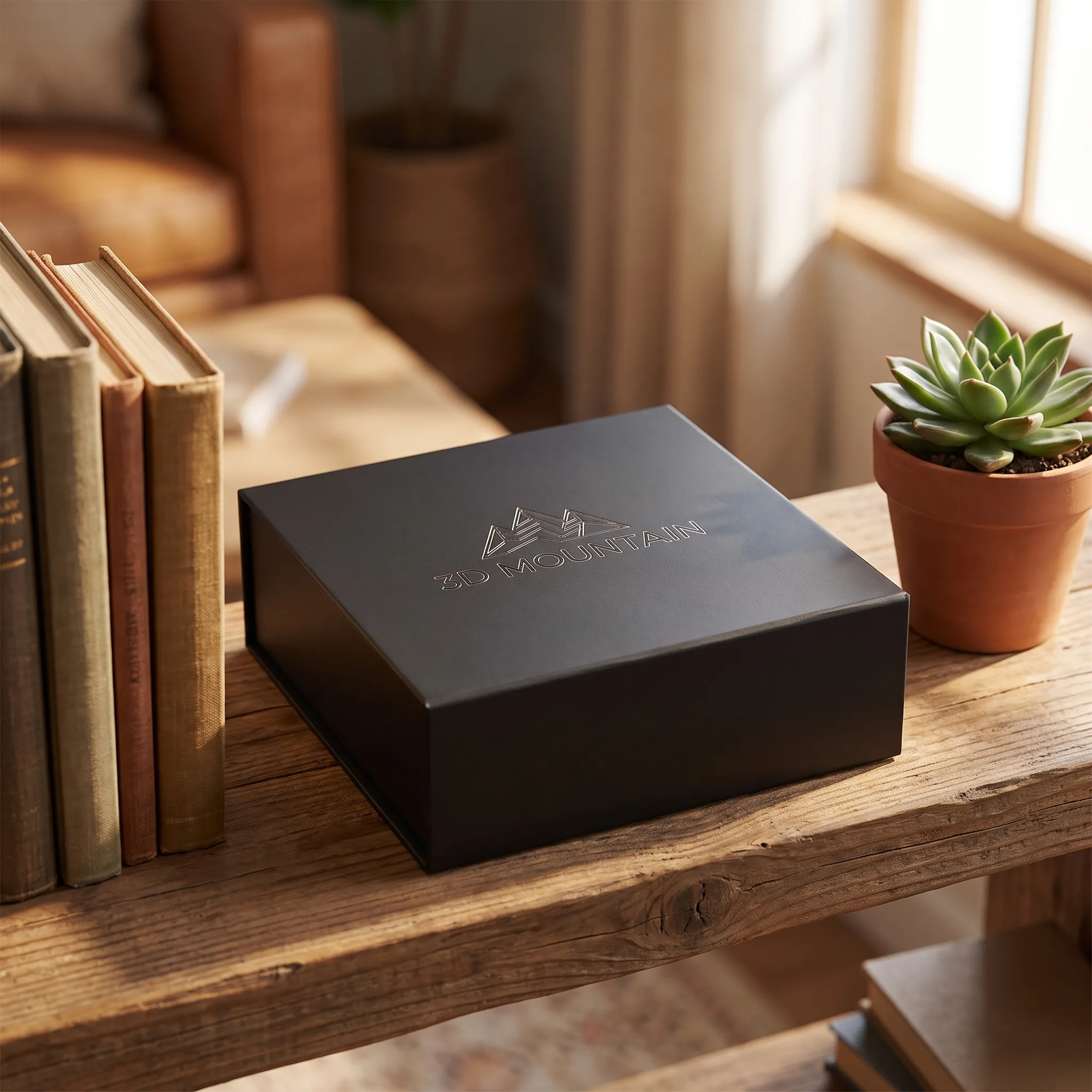
The product comes in a gift box, ready to give.
Additional information
| Side | from Bourg Saint Maurice, from Val-d'Isère, from Lanslebourg |
|---|---|
| Base | Rounded base, Square base, Single mountain |
| Colour | Matte white / Copper, Matte black / Gold, Matte olive green / Silver, Matte grey / Red |
| Size | 10 cm × 10 cm, 15 cm × 15 cm, 20 cm × 20 cm |
Reviews
There are no reviews yet.
BROUSTET –
Review of 3D relief map of your mountain
Many thanks indeed for this wonderful 3D Salève mountain, thank you again for the speed of design and delivery, we are super happy with this gift which is going to be very well received! 😍